
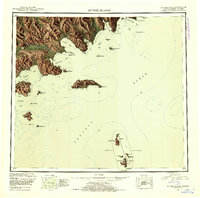
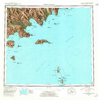
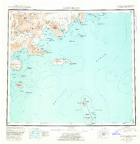
1951 Map of Sutwik Island
USGS Topo · Published 1953About this map
The Aleutian Range dominates the rugged coastline of the Alaska Peninsula, where the Aniakchak River and Meshik River carve through the volcanic landscape toward the Pacific Ocean. This 1951 reconnaissance map details a remote maritime environment punctuated by coastal landmarks like Cape Kumlik and Foggy Cape. To the south, the isolated Semidi National Wildlife Refuge encompasses a chain of islands including Aghiyuk Island and Chowiet Island, while the namesake Sutwik Island sits prominently offshore in the Chignik Bay region. The presence of a solitary Cabin near Aniakchak Bay and numerous triangulation stations like VABM 964 Sut underscores the era's ongoing survey efforts in this sparsely inhabited territory. These markers provide crucial reference points for understanding the early mapping of Alaska's maritime wilderness.
Find a feature on this map
72 named features on this map. Tap any name to fly to it.
Don’t see what you’re looking for? This feature index may not catch every label — zoom into the map to look around manually.
Map Details
Editions of this 1951 Sutwik Island Map
4 editions found
Other maps of this area

1943 · Ugashik
USGS Topo · 1:250,000

1948 · Ugashik
USGS Topo · 1:250,000

1949 · Ugashik
USGS Topo · 1:250,000

1951 · Bristol Bay
USGS Topo · 1:250,000

1951 · Trinity Islands
USGS Topo · 1:250,000

1951 · Karluk
USGS Topo · 1:250,000

1951 · Stepovak Bay
USGS Topo · 1:250,000

1951 · Ugashik A-2
USGS Topo · 1:63,360

1952 · Karluk
USGS Topo · 1:250,000

1954 · Trinity Islands
USGS Topo · 1:250,000