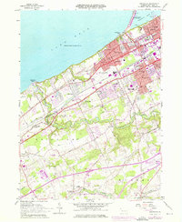
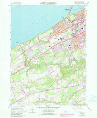
1957 Map of Swanville
USGS Topo · Published 1976About this map
The western suburbs of Erie and the sprawling coastline of Lake Erie dominate this mid-century topographic survey, showing a landscape in transition from rural townships to organized residential clusters. Following the shoreline, the map details the entrance to Presque Isle Bay and the leisure landmarks of Waldameer Park and Presque Isle State Park. Inland, the suburban expansion is evident in the development of West Millcreek, Lakewood, and Westminster, while more rural outposts like Swanville and Fairview maintain their distinct identities along the Penn Central and Norfolk and Western rail lines.
Find a feature on this map
61 named features on this map. Tap any name to fly to it.
Don’t see what you’re looking for? This feature index may not catch every label — zoom into the map to look around manually.
Map Details
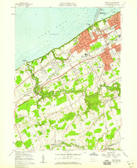
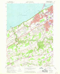
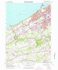
Editions of this 1957 Swanville Map
5 editions found
Other maps of this area

1899 · Erie
USGS Topo · 1:62,500

1900 · Girard
USGS Topo · 1:62,500

1900 · Erie
USGS Topo · 1:62,500

1900 · Fairview
USGS Topo · 1:62,500

1923 · Cambridge Springs
USGS Topo · 1:62,500

1925 · Cambridge Springs
USGS Topo · 1:62,500

1943 · Cambridge Springs
USGS Topo · 1:62,500

1950 · Cleveland
USGS Topo · 1:250,000

1950 · Erie
USGS Topo · 1:250,000

1956 · Cleveland
USGS Topo · 1:250,000