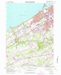
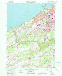
1957 Map of Swanville
USGS Topo · Published 1984About this map
Lake Erie defines the northern edge of this coastal landscape, where the urban expansion of Erie meets the suburban and rural townships of Millcreek, Fairview, and Mckean. In the late 1960s and early 1970s, as indicated by photorevisions, the area transitioned from agricultural land to residential neighborhoods like Charter Oaks, Vernondale, and Lakewood. The intricate drainage patterns of Walnut Creek and Elk Creek carve through the southern uplands, creating a sharp contrast with the developed shoreline. Transportation corridors are well-established, with the Penn Central and Norfolk and Western railroads supporting regional commerce. Notable community landmarks range from the educational Villa Maria Academy and McDowell High Sch to recreational sites like Waldameer Park and the Kahkwa Country Club. The presence of the Erie International Airport and significant infrastructure near Presque Isle State Park underscores the region's role as a vital Great Lakes hub.
Find a feature on this map
49 named features on this map. Tap any name to fly to it.
Don’t see what you’re looking for? This feature index may not catch every label — zoom into the map to look around manually.
Map Details
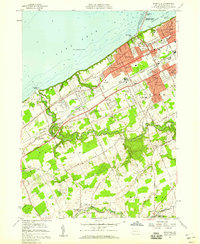
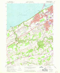
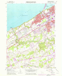
Editions of this 1957 Swanville Map
5 editions found
Other maps of this area

1899 · Erie
USGS Topo · 1:62,500

1900 · Girard
USGS Topo · 1:62,500

1900 · Erie
USGS Topo · 1:62,500

1900 · Fairview
USGS Topo · 1:62,500

1923 · Cambridge Springs
USGS Topo · 1:62,500

1925 · Cambridge Springs
USGS Topo · 1:62,500

1943 · Cambridge Springs
USGS Topo · 1:62,500

1950 · Cleveland
USGS Topo · 1:250,000

1950 · Erie
USGS Topo · 1:250,000

1956 · Cleveland
USGS Topo · 1:250,000