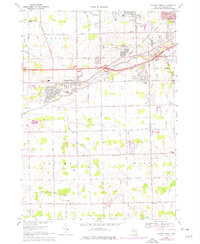
1969 Map of Swartz Creek
USGS Topo · Published 1976About this map
Swartz Creek serves as a focal point for this Genesee County landscape, where the convergence of the Grand Trunk Western railroad and expanding road networks like Miller Road and Bristol Road drove mid-century suburbanization. The map documents a community transitioning from rural farmland to residential neighborhoods, with several institutional anchors such as St Marys Ch and St Marys Cem appearing near the town center.
Find a feature on this map
76 named features on this map. Tap any name to fly to it.
Don’t see what you’re looking for? This feature index may not catch every label — zoom into the map to look around manually.
Map Details
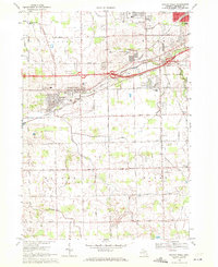
Editions of this 1969 Swartz Creek Map
2 editions found
Other maps of this area

1919 · Burt
USGS Topo · 1:62,500

1920 · Flint
USGS Topo · 1:62,500

1920 · Holly
USGS Topo · 1:62,500

1921 · Burt
USGS Topo · 1:62,500

1922 · Holly
USGS Topo · 1:62,500

1922 · Durand
USGS Topo · 1:62,500

1922 · Flint
USGS Topo · 1:62,500

1943 · Holly
USGS Topo · 1:62,500

1943 · Burt
USGS Topo · 1:62,500

1943 · Durand
USGS Topo · 1:62,500
Featured Places
- Flint, MI
- Swartz Creek, MI
- Flint Charter Township, MI
- Clayton Charter Township, MI
- Mundy Charter Township, MI