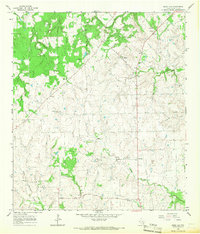
1965 Map of Swiss Alp
USGS Topo · Published 1967About this map
The Navidad River and its numerous tributaries, including Middle Creek and Williams Creek, define the rolling landscape of this mid-1960s Fayette County study. The settlement of Swiss Alp sits at the heart of a rural network of small communities and family landmarks, connected by a web of unimproved roads and light-duty paths. The area's cultural history is anchored by local congregations and burial grounds, such as Trinity Ch, Philadelphia Ch, and the Kaasé Cem.
Find a feature on this map
27 named features on this map. Tap any name to fly to it.
Don’t see what you’re looking for? This feature index may not catch every label — zoom into the map to look around manually.
Map Details
Editions of this 1965 Swiss Alp Map
2 editions found
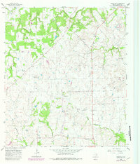
Other maps of this area

1901 · Flatonia
USGS Topo · 1:125,000

1919 · Schulenburg
USGS Topo · 1:62,500

1953 · Seguin
USGS Topo · 1:250,000

1956 · La Grange
USGS Topo · 1:62,500

1957 · La Grange East
USGS Topo · 1:24,000

1957 · Ammannsville
USGS Topo · 1:24,000

1958 · La Grange West
USGS Topo · 1:24,000
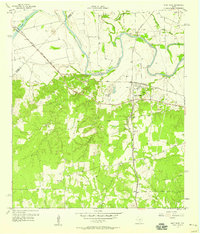
1958 · West Point
USGS Topo · 1:24,000

1958 · Seguin
USGS Topo · 1:250,000

1965 · Muldoon
USGS Topo · 1:24,000