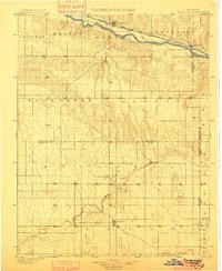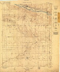
1900 Map of Syracuse
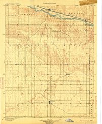
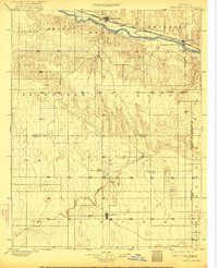
USGS Topo · Published 1921About this map
The Arkansas River valley defines the northern reaches of this High Plains landscape, where the Atchison Topeka and Santa Fe railroad parallels the water to support the cattle and agricultural hubs of Syracuse and Kendall. Surveyed before the turn of the century, the sheet reveals a sparsely settled frontier transition. To the south, the terrain levels into the vast stretches of Bear Creek and Mitchell, where isolated outposts like Hatton, Edwin, and Gognac dot the section lines. The map captures the early political geography of Southwest Kansas, marking the boundaries between Hamilton, Stanton, and Kearny counties. The prominence of the central settlement at Johnson reflects its role as a regional focus point amidst a network of small, widely dispersed communities like Fisher and Floto that served the early ranching and homesteading families of the region.
Find a feature on this map
30 named features on this map. Tap any name to fly to it.
Don’t see what you’re looking for? This feature index may not catch every label — zoom into the map to look around manually.
Map Details
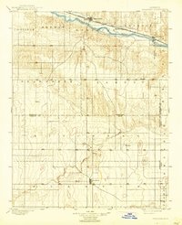
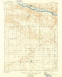
Editions of this 1900 Syracuse Map
5 editions found