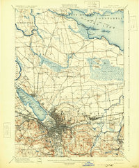
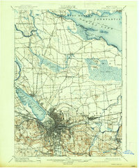
1898 Map of Syracuse
USGS Topo · Published 1930About this map
Syracuse stands at the heart of a dense industrial and transport hub in the late 19th century, dominated by the intricate network of the Erie Canal and Oswego Canal. The landscape reflects the city's "Salt City" heritage, specifically noting the Salt Sheds along the southern tip of Onondaga Lake. Beyond the urban core, the map reveals the transition to a transit-oriented countryside, where the Rome Watertown and Ogdensburg R. R. and several other branches connect outlying settlements like Cigarville and Liverpool.
Find a feature on this map
88 named features on this map. Tap any name to fly to it.
Don’t see what you’re looking for? This feature index may not catch every label — zoom into the map to look around manually.
Map Details
Editions of this 1898 Syracuse Map
10 editions found

1898 edition
16.6 x 20.2 inches
1901 edition
15.5 x 19.4 inches
1905 edition
16.6 x 20.1 inches
1907 edition
16.6 x 20.2 inches
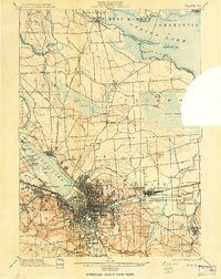
1908 edition
15.64 x 19.71 inches
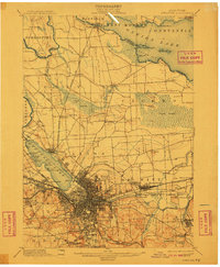
1910 edition
16.6 x 20.1 inches
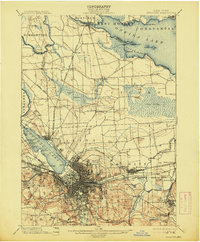
1913 edition
16.6 x 20.1 inches
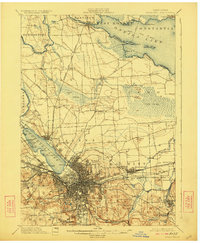
1923 edition
16.6 x 20.2 inches
1930 edition
16.4 x 19.9 inches
1937 edition
16.6 x 20.1 inches
Other maps of this area

1895 · Chittenango
USGS Topo · 1:62,500

1895 · Syracuse
USGS Topo · 1:62,500

1897 · Cazenovia
USGS Topo · 1:62,500
1898 · Syracuse
USGS Topo · 1:62,500

1898 · Chittenango
USGS Topo · 1:62,500

1899 · Skaneateles
USGS Topo · 1:62,500

1899 · Cazenovia
USGS Topo · 1:62,500

1900 · Baldwinsville
USGS Topo · 1:62,500

1900 · Tully
USGS Topo · 1:62,500

1900 · Fulton
USGS Topo · 1:62,500