
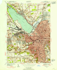
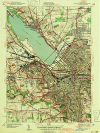
1939 Map of Syracuse West
USGS Topo · Published 1939About this map
Onondaga Lake dominates this pre-war landscape, bordered by the emerging residential neighborhoods of Liverpool, Solvay, and Syracuse. The area serves as a significant regional crossroads where the New York Central railroad and the Erie Canal (Abandoned) intersect near the State Fairgrounds. This map records the industrial and institutional footprint of the late 1930s, featuring the Salt Museum and the reconstructed Fort Ste Marie De Gannentaha on the eastern shore. To the south, the city's growth is marked by prominent landmarks such as Syracuse University and Oakwood Cemetery. Evidence of the region’s earlier engineering remains visible at Geers Lock, while the expanding suburbs of Fairmount, Westvale, and Mattydale show the early twentieth-century transition from rural township lands in Geddes and Salina to dense urban development.
Find a feature on this map
60 named features on this map. Tap any name to fly to it.
Don’t see what you’re looking for? This feature index may not catch every label — zoom into the map to look around manually.
Map Details
Editions of this 1939 Syracuse West Map
3 editions found
Other maps of this area

1895 · Syracuse
USGS Topo · 1:62,500

1898 · Syracuse
USGS Topo · 1:62,500

1899 · Skaneateles
USGS Topo · 1:62,500

1900 · Baldwinsville
USGS Topo · 1:62,500

1900 · Tully
USGS Topo · 1:62,500

1902 · Skaneateles
USGS Topo · 1:62,500

1938 · Syracuse East
USGS Topo · 1:24,000

1940 · Brewerton
USGS Topo · 1:24,000

1940 · Cicero
USGS Topo · 1:24,000
1943 · Syracuse East
USGS Topo · 1:31,680