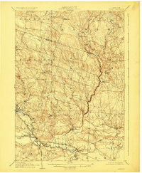
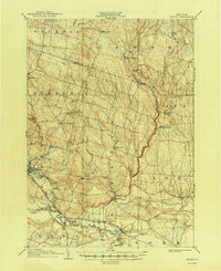
1905 Map of Taberg
USGS Topo · Published 1924About this map
The West Branch Fish Creek and the Mad River converge near the village of Camden, carving through a landscape of Tug Hill plateaus and rural settlements at the start of the twentieth century. This area of Oneida County is defined by its water-powered history, evidenced by the Leisher Mill and Swancott Mill situated along the winding northern creeks. Small crossroads and post offices like Empeyville East Florence PO and Thomson Corners serve as vital hubs for the surrounding farmsteads.
Find a feature on this map
48 named features on this map. Tap any name to fly to it.
Don’t see what you’re looking for? This feature index may not catch every label — zoom into the map to look around manually.
Map Details
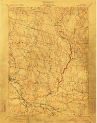
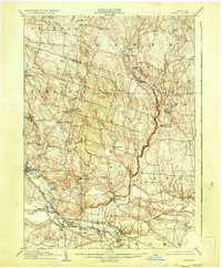
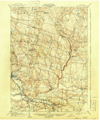
Editions of this 1905 Taberg Map
6 editions found

Other maps of this area

1895 · Chittenango
USGS Topo · 1:62,500

1895 · Oriskany
USGS Topo · 1:62,500

1895 · Oneida
USGS Topo · 1:62,500

1898 · Oneida
USGS Topo · 1:62,500

1898 · Chittenango
USGS Topo · 1:62,500

1898 · Oriskany
USGS Topo · 1:62,500

1902 · Chittenango
USGS Topo · 1:62,500

1902 · Oneida
USGS Topo · 1:62,500

1903 · Orwell
USGS Topo · 1:62,500

1904 · Boonville
USGS Topo · 1:62,500