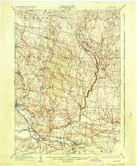
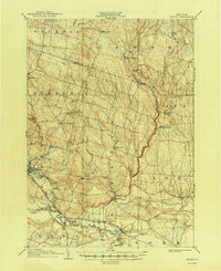
1905 Map of Taberg
USGS Topo · Published 1936About this map
The Salmon River and West Branch Fish Creek define the drainage of this Northern New York landscape at the turn of the century. Small industrial pockets like Leisher Mill and Swancott Mill are situated along these waterways, reflecting a period when local timber and milling were central to the rural economy. The southern portion of the map reveals a concentrated rail network, including the New York Central and Hudson River R. R. and the Elmira Cortland and Northern Br, which served as vital lifelines for agricultural and manufacturing hubs like Camden and McConnellsville. Genealogists may find interest in the precise locations of rural crossroads like Malone Corner and the dual-named Empeyville East Florence PO, which highlight the shifting postal identities of early 20th-century Oneida and Lewis counties.
Find a feature on this map
44 named features on this map. Tap any name to fly to it.
Don’t see what you’re looking for? This feature index may not catch every label — zoom into the map to look around manually.
Map Details
Editions of this 1905 Taberg Map
6 editions found

Other maps of this area

1895 · Chittenango
USGS Topo · 1:62,500

1895 · Oriskany
USGS Topo · 1:62,500

1895 · Oneida
USGS Topo · 1:62,500

1898 · Oneida
USGS Topo · 1:62,500

1898 · Chittenango
USGS Topo · 1:62,500

1898 · Oriskany
USGS Topo · 1:62,500

1902 · Chittenango
USGS Topo · 1:62,500

1902 · Oneida
USGS Topo · 1:62,500

1903 · Orwell
USGS Topo · 1:62,500

1904 · Boonville
USGS Topo · 1:62,500