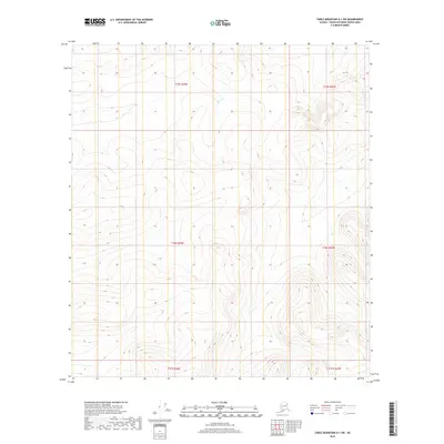
2018 Map of Table Mountain A-1 SW
USGS Topo · Published 2018About this map
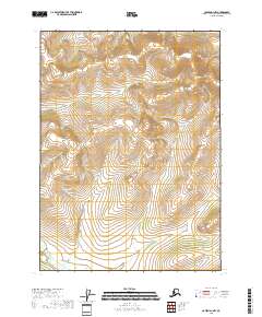
The interior landscape of the T15s R46e and T16s R46e townships in Alaska’s Yukon-Koyukuk Census Area reveals a high-elevation terrain defined by its complex contour lines rather than human settlements. This 2018 survey emphasizes the landform structure of the region, including areas within T15s R47e and T16s R47e. The absence of named roads, buildings, or local landmarks indicates an exceptionally isolated wilderness, where the Public Land Survey System provides the primary framework for navigation. The map's data, sourced from the National Elevation Dataset and National Hydrography Dataset, captures the fine-grained topography of the northeast interior, spanning from T17s R46e to T17s R47e. It is a portrait of pure topography, showing how the ridges and drainage patterns dictate the character of this unorganized borough.
Find a feature on this map
6 named features on this map. Tap any name to fly to it.
Don’t see what you’re looking for? This feature index may not catch every label — zoom into the map to look around manually.
Map Details
Editions of this 2018 Table Mountain A-1 SW Map
This is the sole edition of this map. No revisions or reprints were ever made.
Other maps of this area

1951 · Coleen
USGS Topo · 1:250,000

1951 · Table Mountain
USGS Topo · 1:250,000

1956 · Table Mountain
USGS Topo · 1:250,000

1956 · Coleen
USGS Topo · 1:250,000

1964 · Table Mountain
USGS Topo · 1:250,000
1972 · Coleen D-2
USGS Topo · 1:63,360
1972 · Table Mountain A-2
USGS Topo · 1:63,360
1972 · Table Mountain A-1
USGS Topo · 1:63,360
1972 · Coleen D-1
USGS Topo · 1:63,360
2018 · Coleen D-1 NW
USGS Topo · 1:25,000