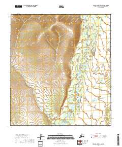
2018 Map of Table Mountain A-2 SW
USGS Topo · Published 2018About this map
The Coleen River flows through the eastern expanse of this remote interior Alaska landscape, creating a meandering path of braided channels and seasonal wetlands. In the western portion of the region, Marten Cr cuts through the high elevation terrain, draining the slopes of prominent ridges that dominate the topography. These two watercourses define the hydrologic character of the area, illustrating the natural drainage patterns of the Yukon-Koyukuk Census Area. The lack of named settlements or infrastructure highlights the primitive state of the land as it remained in the early 21st century, where geological formations and river systems dictate the layout of the environment.
Find a feature on this map
8 named features on this map. Tap any name to fly to it.
Don’t see what you’re looking for? This feature index may not catch every label — zoom into the map to look around manually.
Map Details
Editions of this 2018 Table Mountain A-2 SW Map
This is the sole edition of this map. No revisions or reprints were ever made.
Other maps of this area

1951 · Coleen
USGS Topo · 1:250,000

1951 · Table Mountain
USGS Topo · 1:250,000

1956 · Table Mountain
USGS Topo · 1:250,000

1956 · Coleen
USGS Topo · 1:250,000

1964 · Table Mountain
USGS Topo · 1:250,000
1972 · Coleen D-2
USGS Topo · 1:63,360
1972 · Table Mountain A-2
USGS Topo · 1:63,360
1972 · Coleen D-3
USGS Topo · 1:63,360
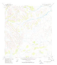
1972 · Table Mountain A-3
USGS Topo · 1:63,360
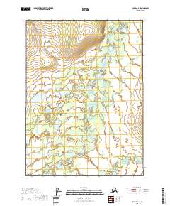
2018 · Coleen D-3 NE
USGS Topo · 1:25,000