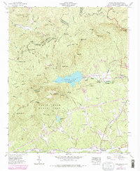
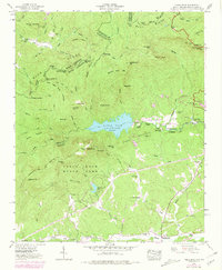
1946 Map of Table Rock
USGS Topo · Published 1979About this map
Table Rock State Park anchors this terrain along the Blue Ridge Escarpment, where the sharp transition from the Piedmont to the mountains is defined by the massive granite outcroppings of Table Rock and The Stool. The landscape is a complex network of high peaks and deep water features, dominated by the Table Rock Reservoir and the surrounding watersheds of the South Saluda River and Oolenoy River. Human presence is marked by isolated mountain communities and institutional landmarks, including the Table Rock School, Saluda Hill Church, and New Town School.
Find a feature on this map
74 named features on this map. Tap any name to fly to it.
Don’t see what you’re looking for? This feature index may not catch every label — zoom into the map to look around manually.
Map Details
Editions of this 1946 Table Rock Map
5 editions found
Other maps of this area

1888 · Pickens
USGS Topo · 1:125,000

1894 · Pickens
USGS Topo · 1:125,000

1905 · Pisgah
USGS Topo · 1:125,000

1906 · Pisgah
USGS Topo · 1:125,000

1935 · Brevard
USGS Topo · 1:24,000

1935 · Eastatoe Gap
USGS Topo · 1:24,000

1935 · Standingstone Mtn.
USGS Topo · 1:24,000

1935 · Rosman
USGS Topo · 1:24,000

1935 · Table Rock
USGS Topo · 1:24,000
1945 · Brevard
USGS Topo · 1:24,000