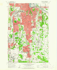
1961 Map of Tacoma South
USGS Topo · Published 1962About this map
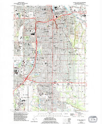
The southern reaches of Tacoma and its burgeoning suburbs are documented here just as the Interstate system began reshaping the Washington landscape. This era marks the prominence of McChord Air Force Base and the South Tacoma Airport, alongside established neighborhoods like Oakland, South Tacoma, and Fern Hill. The transition from industrial rail corridors to modern transit is visible through the networks of the Northern Pacific and Great Northern railroads. Educational and community institutions are particularly well-represented, from Pacific Lutheran University in Parkland to Cheney Stadium and Lincoln High Sch. The map reveals a mix of dense residential blocks and undeveloped marshlands, such as the South Tacoma Swamp, while several large cemeteries including Tacoma Cemetery and Mtn View Memorial Park (Cem) serve as significant landmarks for local history.
Find a feature on this map
104 named features on this map. Tap any name to fly to it.
Don’t see what you’re looking for? This feature index may not catch every label — zoom into the map to look around manually.
Map Details
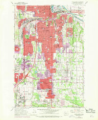
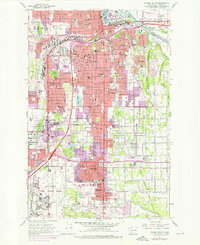
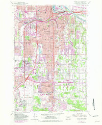
Editions of this 1961 Tacoma South Map
5 editions found
Other maps of this area

1897 · Tacoma
USGS Topo · 1:125,000

1900 · Tacoma
USGS Topo · 1:125,000

1940 · Anderson Island
USGS Topo · 1:62,500

1941 · Tacoma South
USGS Topo · 1:62,500

1942 · Gig Harbor
USGS Topo · 1:62,500

1943 · Gig Harbor
USGS Topo · 1:62,500

1944 · Tacoma South
USGS Topo · 1:62,500

1948 · Anderson Island
USGS Topo · 1:62,500

1948 · Fort Lewis
USGS Topo · 1:24,000

1948 · Steilacoom
USGS Topo · 1:24,000