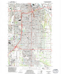
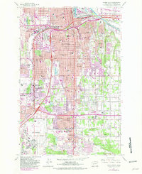
1961 Map of Tacoma South
USGS Topo · Published 1995About this map
Mc Chord Air Force Base and the Pacific Lutheran University campus anchor the southern reaches of this landscape, representing the mid-century expansion of military and educational infrastructure in Pierce County. The urban grid of Tacoma gives way to a dense network of suburbs and unincorporated communities like Parkland, Brookdale, and Salishan. The map captures a moment of intense postwar development, evidenced by the proliferation of neighborhood schools such as Mary Lyon Sch and Keithley Middle Sch, alongside massive civic landmarks like the Tacoma Dome and the Tacoma Mall.
Find a feature on this map
129 named features on this map. Tap any name to fly to it.
Don’t see what you’re looking for? This feature index may not catch every label — zoom into the map to look around manually.
Map Details
Editions of this 1961 Tacoma South Map
5 editions found
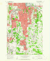
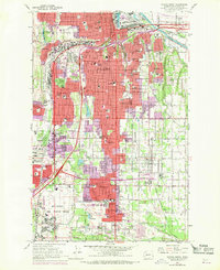
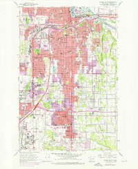
Other maps of this area

1897 · Tacoma
USGS Topo · 1:125,000

1900 · Tacoma
USGS Topo · 1:125,000

1940 · Anderson Island
USGS Topo · 1:62,500

1941 · Tacoma South
USGS Topo · 1:62,500

1942 · Gig Harbor
USGS Topo · 1:62,500

1943 · Gig Harbor
USGS Topo · 1:62,500

1944 · Tacoma South
USGS Topo · 1:62,500

1948 · Anderson Island
USGS Topo · 1:62,500

1948 · Fort Lewis
USGS Topo · 1:24,000

1948 · Steilacoom
USGS Topo · 1:24,000