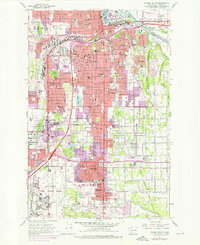
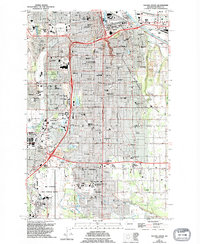
1961 Map of Tacoma South
USGS Topo · Published 1976About this map
Tacoma's southern neighborhoods and the expanding suburban footprint of Pierce County are documented here during a period of significant post-war growth. The landscape is defined by its transition from industrial rail corridors to residential communities like Parkland and Fern Hill. The massive presence of Mc Chord Air Force Base dominates the southwestern quadrant, while the educational hub of Pacific Lutheran University anchors the southern settlements. Transportation networks, including the Northern Pacific and Union Pacific railroads, trace the historic movement of goods toward the Puyallup River and City Waterway. Notable landmarks of the era include Cheney Stadium, the Tacoma Mall Shopping Center, and several large memorial parks such as Mountain View Memorial Park. Natural features like Wapato Lake and the South Tacoma Swamp remain visible amidst the intensifying urban development.
Find a feature on this map
103 named features on this map. Tap any name to fly to it.
Don’t see what you’re looking for? This feature index may not catch every label — zoom into the map to look around manually.
Map Details
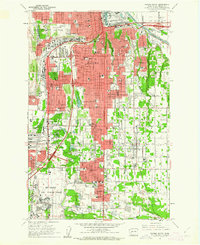
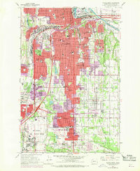
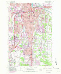
Editions of this 1961 Tacoma South Map
5 editions found
Other maps of this area

1897 · Tacoma
USGS Topo · 1:125,000

1900 · Tacoma
USGS Topo · 1:125,000

1940 · Anderson Island
USGS Topo · 1:62,500

1941 · Tacoma South
USGS Topo · 1:62,500

1942 · Gig Harbor
USGS Topo · 1:62,500

1943 · Gig Harbor
USGS Topo · 1:62,500

1944 · Tacoma South
USGS Topo · 1:62,500

1948 · Anderson Island
USGS Topo · 1:62,500

1948 · Fort Lewis
USGS Topo · 1:24,000

1948 · Steilacoom
USGS Topo · 1:24,000