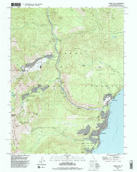
1992 Map of Tahoe City
USGS Topo · Published 1994About this map
Tahoe National Forest dominates this landscape, where the Truckee River flows north from the shore of Lake Tahoe toward Bullshead. By the early 1990s, the region had matured into a premiere recreational hub, evidenced by the extensive layouts of the Alpine Meadows Ski Area and Squaw Valley USA, the latter featuring its distinct Aerial Tramway. Along the lakefront, Tahoe City serves as a primary civic center with its Fire Station and Tahoe Lake Sch located near the river's outlet.
Find a feature on this map
58 named features on this map. Tap any name to fly to it.
Don’t see what you’re looking for? This feature index may not catch every label — zoom into the map to look around manually.
Map Details
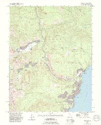
Editions of this 1992 Tahoe City Map
2 editions found
Other maps of this area

1891 · Truckee
USGS Topo · 1:125,000

1893 · Truckee
USGS Topo · 1:125,000

1895 · Truckee
USGS Topo · 1:125,000

1932 · Truckee
USGS Topo · 1:96,000

1940 · Truckee
USGS Topo · 1:125,000

1953 · Granite Chief
USGS Topo · 1:24,000
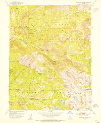
1953 · Wentworth Springs
USGS Topo · 1:24,000

1953 · Granite Chief
USGS Topo · 1:62,500
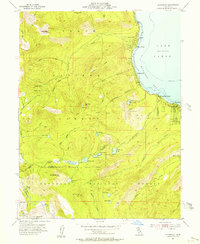
1955 · Homewood
USGS Topo · 1:24,000

1955 · Truckee
USGS Topo · 1:24,000