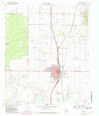
1969 Map of Tahoka
USGS Topo · Published 1982About this map
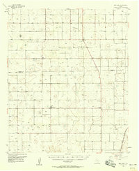
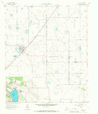
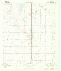
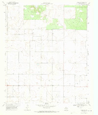
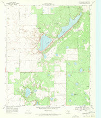
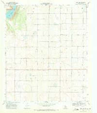
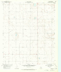
The High Plains of Lynn County center on the growing town of Tahoka, where the Atchison Topeka And Santa Fe railway and U.S. Highway 87 intersect. This 1969 survey, revised in 1981, illustrates the expansion of the town's residential footprint along streets like Lockwood St and Main St. The surrounding landscape is defined by the unique hydrology of the Llano Estacado, featuring numerous ephemeral wells and the prominent alkaline depressions of Tahoka Lake and Guthrie Lake. Agriculture and ranching infrastructure appear across the plains, evidenced by features such as the High Lonesome Windmill and Hook Windmill. The map also captures local recreation and utility hubs, including a Golf Course, the T Bar Airfield, and various Roadside Parks along the primary highway corridors.
Find a feature on this map
34 named features on this map. Tap any name to fly to it.
Don’t see what you’re looking for? This feature index may not catch every label — zoom into the map to look around manually.
Map Details
Editions of this 1969 Tahoka Map
2 editions found
Other maps of this area

1954 · Lubbock
USGS Topo · 1:250,000
1957 · New Home
USGS Topo · 1:62,500
1965 · Wilson
USGS Topo · 1:24,000
1969 · Skeen Lake
USGS Topo · 1:24,000
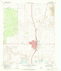
1969 · Tahoka
USGS Topo · 1:24,000
1969 · Tahoka SW
USGS Topo · 1:24,000
1969 · Double Lakes
USGS Topo · 1:24,000
1970 · New Lynn
USGS Topo · 1:24,000
1970 · Draw
USGS Topo · 1:24,000
1976 · New Home SE
USGS Topo · 1:24,000