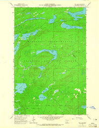
1960 Map of Tait Lake
USGS Topo · Published 1965About this map
The waters of Tait Lake and the Tait River anchor this 1960 survey of a remote lake-strewn landscape in Cook County. Spanning both the Superior National Forest and the Minnesota State Forest, the map captures a period of early outdoor recreational development, evidenced by the scattered campgrounds along Lichen Lake and the presence of a Gravel Pit near Mississippi Creek. The geography is defined by a dense network of connected water bodies, from the larger Cascade Lake and Lake Clara to smaller, distinctively named features like Mistletoe Lake, Holly Lake, and Roast Lake. The State Forest Boundary cuts across the southern portion of the sheet, where Pike Lake and White Pine Lake sit among a landscape of unimproved dirt roads and light-duty trails typical of the North Woods before modern development intensified.
Find a feature on this map
28 named features on this map. Tap any name to fly to it.
Don’t see what you’re looking for? This feature index may not catch every label — zoom into the map to look around manually.
Map Details
Editions of this 1960 Tait Lake Map
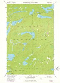
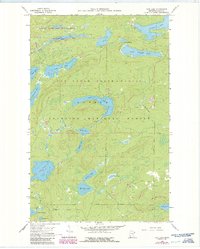
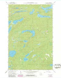
5 editions found
Other maps of this area

1919 · Brule Lake
USGS Topo · 1:62,500

1919 · Lutsen
USGS Topo · 1:62,500

1954 · Two Harbors
USGS Topo · 1:250,000

1955 · Tofte
USGS Topo · 1:62,500

1957 · Two Harbors
USGS Topo · 1:250,000

1958 · Two Harbors
USGS Topo · 1:250,000

1958 · Deer Yard Lake
USGS Topo · 1:24,000

1959 · Lutsen
USGS Topo · 1:24,000

1960 · Tait Lake
USGS Topo · 1:24,000

1960 · Mark Lake
USGS Topo · 1:24,000