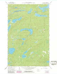
1960 Map of Tait Lake
USGS Topo · Published 1986About this map
The Boundary Waters Canoe Area Wilderness defines the northern reaches of this landscape, where a intricate network of glacial lakes and portage-connected waterways dominates the terrain. This 1960s-era survey reveals the convergence of several managed woodlands, including the Pat Bayle State Forest and the Superior National Forest, highlighting the transition from protected wilderness to state-managed timberlands. The hydrological pattern is anchored by Lutsen Lake and the Tait River, with numerous smaller bodies like Mistletoe Lake and Roast Lake scattered across the upland plateaus. To the south, the North Shore State Trail skirts the edge of Pike Lake, indicating early recreational development and access into this dense forest environment. Evidence of local industry and road building appears in several scattered gravel pits near Mississippi Creek, while the presence of the State Kinogami Lake Wilderness Forest Boundary underscores the complex land management of the Cook County interior.
Find a feature on this map
30 named features on this map. Tap any name to fly to it.
Don’t see what you’re looking for? This feature index may not catch every label — zoom into the map to look around manually.
Map Details
Editions of this 1960 Tait Lake Map
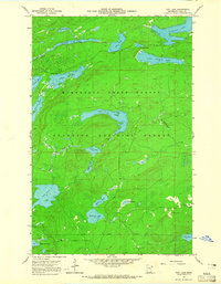
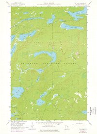
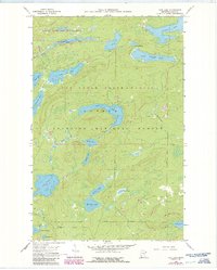
5 editions found
Other maps of this area

1919 · Brule Lake
USGS Topo · 1:62,500

1919 · Lutsen
USGS Topo · 1:62,500

1954 · Two Harbors
USGS Topo · 1:250,000

1955 · Tofte
USGS Topo · 1:62,500

1957 · Two Harbors
USGS Topo · 1:250,000

1958 · Two Harbors
USGS Topo · 1:250,000

1958 · Deer Yard Lake
USGS Topo · 1:24,000

1959 · Lutsen
USGS Topo · 1:24,000

1960 · Tait Lake
USGS Topo · 1:24,000

1960 · Mark Lake
USGS Topo · 1:24,000