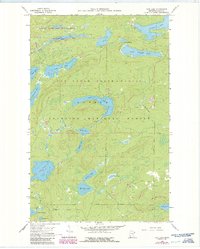
1960 Map of Tait Lake
USGS Topo · Published 1982About this map
The Boundary Waters Canoe Area Wilderness defines the northern reaches of this landscape, where the Pat Bayle State Forest and Superior National Forest converge. This map reveals a complex aquatic network centered on Tait Lake and the meandering Tait River. The terrain is characterized by numerous glacial basins, including Cascade Lake, Lichen Lake, and the small Mistletoe Lake.
Find a feature on this map
32 named features on this map. Tap any name to fly to it.
Don’t see what you’re looking for? This feature index may not catch every label — zoom into the map to look around manually.
Map Details
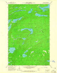
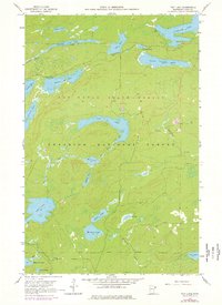
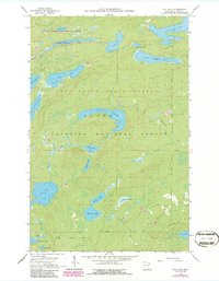
Editions of this 1960 Tait Lake Map
5 editions found
Other maps of this area

1919 · Brule Lake
USGS Topo · 1:62,500

1919 · Lutsen
USGS Topo · 1:62,500

1954 · Two Harbors
USGS Topo · 1:250,000

1955 · Tofte
USGS Topo · 1:62,500

1957 · Two Harbors
USGS Topo · 1:250,000

1958 · Two Harbors
USGS Topo · 1:250,000

1958 · Deer Yard Lake
USGS Topo · 1:24,000

1959 · Lutsen
USGS Topo · 1:24,000

1960 · Tait Lake
USGS Topo · 1:24,000

1960 · Mark Lake
USGS Topo · 1:24,000