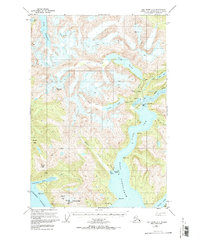
1951 Map of Taku River A-6
USGS Topo · Published 1972About this map
Port Snettisham and the adjacent Speel Arm define this coastal stretch of the Tongass National Forest as it appeared in the mid-20th century. The landscape is characterized by high-altitude glacial lakes, including Lake Dorothy and Crater Lake, which feed into steep drainage systems like Crater Creek. This era of development is visible through early industrial infrastructure, such as the Powerplant and Gaging Sta near Long Lake, and a Landing Strip on the shore of Speel Arm that served this remote maritime environment. Evidence of mineral exploration persists with the Whigg Placer Mine located south of Prospect Creek and a marked Mine near Limestone Inlet. The presence of a solitary Cabin and the surrounding peaks like Everett Peak and Fillmore Peak emphasize the isolation and industrial utility of the region before modern expansion.
Find a feature on this map
42 named features on this map. Tap any name to fly to it.
Don’t see what you’re looking for? This feature index may not catch every label — zoom into the map to look around manually.
Map Details
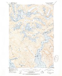
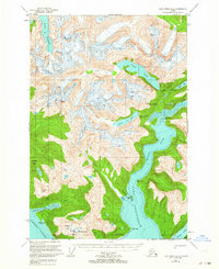
Editions of this 1951 Taku River A-6 Map
4 editions found
Other maps of this area

1948 · Sitka D-1
USGS Topo · 1:63,360

1948 · Sumdum D-6
USGS Topo · 1:63,360

1948 · Sumdum D-5
USGS Topo · 1:63,360

1948 · Juneau B-1
USGS Topo · 1:63,360

1951 · Juneau
USGS Topo · 1:250,000

1951 · Taku River B-6
USGS Topo · 1:63,360

1951 · Taku River A-5
USGS Topo · 1:63,360

1951 · Taku River A-6
USGS Topo · 1:63,360

1951 · Taku River B-5
USGS Topo · 1:63,360

1951 · Sitka
USGS Topo · 1:250,000