
1953 Map of Taku River
USGS Topo · Published 1953About this map
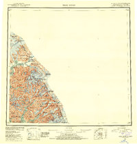
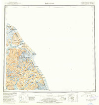
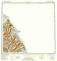
Tongass National Forest dominates this mid-century cartographic study, which delineates the intricate boundary between Alaska and British Columbia. The terrain is characterized by massive ice fields and steep peaks, where the Wright Glacier and Twin Glacier Lake feed into the complex waterway of the Taku River. This 1953 compilation, based on surveys from the early 1900s and post-war aerial photography, reveals a wilderness largely devoid of permanent settlements, save for a lone Cabin situated near the glacial terminal. Coastal features like Snettisham Port and Speel Arm indicate the deep-water inlets that define the coastline of the First Judicial Division. Higher elevations are marked by prominent summits such as Mt Ogden, Devils Paw, and Mt Brundage, which serve as critical landmarks along the international border. The map provides a precise look at the hydrology of the region, including Turner Lake and the long, narrow reach of Long Lake.
Find a feature on this map
23 named features on this map. Tap any name to fly to it.
Don’t see what you’re looking for? This feature index may not catch every label — zoom into the map to look around manually.
Map Details
Editions of this 1953 Taku River Map
4 editions found
Other maps of this area

1948 · Sitka D-1
USGS Topo · 1:63,360

1948 · Sumdum D-6
USGS Topo · 1:63,360

1948 · Sumdum D-5
USGS Topo · 1:63,360

1948 · Juneau B-1
USGS Topo · 1:63,360

1949 · Atlin
USGS Topo · 1:250,000

1951 · Juneau
USGS Topo · 1:250,000

1951 · Atlin
USGS Topo · 1:250,000

1951 · Taku River A-4
USGS Topo · 1:63,360

1951 · Taku River B-6
USGS Topo · 1:63,360

1951 · Taku River A-5
USGS Topo · 1:63,360