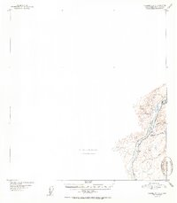
1951 Map of Talkeetna C-1
USGS Topo · Published 1951About this map
The Alaska Railroad corridor serves as the primary artery through this rugged river valley in the early 1950s. The settlement of Curry stands as a significant waypoint along the tracks, featuring a local Airstrip and situated at the confluence of the Susitna River and Portage Creek. This survey provides a specific look at the infrastructure of the rail line as it moves north through the foothills of the Talkeetna Mountains, passing smaller stops and family-named locations such as McKenzie and Lane.
Find a feature on this map
11 named features on this map. Tap any name to fly to it.
Don’t see what you’re looking for? This feature index may not catch every label — zoom into the map to look around manually.
Map Details
Editions of this 1951 Talkeetna C-1 Map
2 editions found
Other maps of this area

1949 · Talkeetna Mountains D-6
USGS Topo · 1:63,360

1949 · Talkeetna Mountains B-6
USGS Topo · 1:63,360

1949 · Talkeetna Mountains C-6
USGS Topo · 1:63,360

1950 · Talkeetna Mountains
USGS Topo · 1:250,000

1950 · Talkeetna
USGS Topo · 1:250,000

1951 · Talkeetna
USGS Topo · 1:250,000

1951 · Talkeetna B-1
USGS Topo · 1:63,360

1951 · Talkeetna C-1
USGS Topo · 1:63,360

1951 · Talkeetna Mountains D-6
USGS Topo · 1:63,360

1952 · Talkeetna Mountains C-6
USGS Topo · 1:63,360