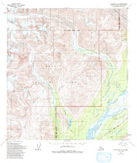
1958 Map of Talkeetna D-1
USGS Topo · Published 1983About this map
The glacial landscapes of the Alaska Range dominate this area, where Buckskin Glacier and Eldridge Glacier carve through the high terrain. The map documents a critical transition in land management and access in the mid-20th century, showing the boundaries of Denali National Park and Denali State Park. A significant interpretive detail is the presence of the George Parks Highway in the southeast corner, following the path of the Chulitna River and Byers Creek. This corridor represents the primary overland connection through the wilderness, while the rest of the quadrangle remains defined by braided waterways like the Coffee River, Hidden River, and Fountain River. The survey also marks the intersection of the Fairbanks and Seward Meridians, a fundamental point for Alaskan land measurement and surveying history.
Find a feature on this map
18 named features on this map. Tap any name to fly to it.
Don’t see what you’re looking for? This feature index may not catch every label — zoom into the map to look around manually.
Map Details
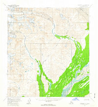
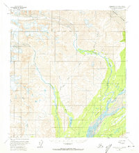
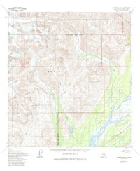
Editions of this 1958 Talkeetna D-1 Map
4 editions found
Other maps of this area

1949 · Talkeetna Mountains D-6
USGS Topo · 1:63,360

1949 · Talkeetna Mountains C-6
USGS Topo · 1:63,360

1949 · Healy A-6
USGS Topo · 1:63,360

1950 · Talkeetna Mountains
USGS Topo · 1:250,000

1950 · Talkeetna
USGS Topo · 1:250,000

1951 · Talkeetna
USGS Topo · 1:250,000

1951 · Healy
USGS Topo · 1:250,000

1951 · Talkeetna C-1
USGS Topo · 1:63,360

1951 · Talkeetna Mountains D-6
USGS Topo · 1:63,360

1952 · Talkeetna Mountains C-6
USGS Topo · 1:63,360