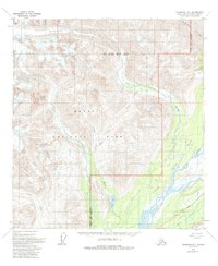
1958 Map of Talkeetna D-1
USGS Topo · Published 1993About this map
Denali National Park and Denali State Park dominate this 1958 survey, where the massive ice flows of the Buckskin Glacier and Eldridge Glacier carve the high mountain landscape. This area, located within the Matanuska-Susitna region, illustrates the transition from high-altitude glacial fields to the braided river systems below. The south-central portion of the map traces the Chulitna River and Fountain River, fed by numerous glacial tributaries including the Coffee River and Hidden River.
Find a feature on this map
25 named features on this map. Tap any name to fly to it.
Don’t see what you’re looking for? This feature index may not catch every label — zoom into the map to look around manually.
Map Details
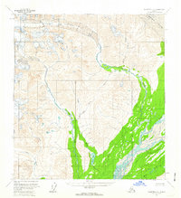
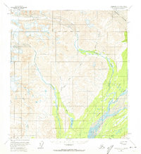
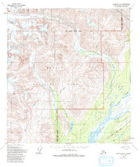
Editions of this 1958 Talkeetna D-1 Map
4 editions found
Other maps of this area

1949 · Talkeetna Mountains D-6
USGS Topo · 1:63,360

1949 · Talkeetna Mountains C-6
USGS Topo · 1:63,360

1949 · Healy A-6
USGS Topo · 1:63,360

1950 · Talkeetna Mountains
USGS Topo · 1:250,000

1950 · Talkeetna
USGS Topo · 1:250,000

1951 · Talkeetna
USGS Topo · 1:250,000

1951 · Healy
USGS Topo · 1:250,000

1951 · Talkeetna C-1
USGS Topo · 1:63,360

1951 · Talkeetna Mountains D-6
USGS Topo · 1:63,360

1952 · Talkeetna Mountains C-6
USGS Topo · 1:63,360