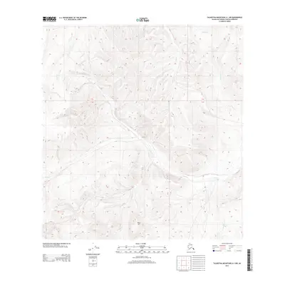
2013 Map of Talkeetna Mountains A-1 NW
USGS Topo · Published 2013About this map
Tyone Cr and its various tributaries define the drainage patterns of this high-elevation Alaskan landscape in the Talkeetna Mountains. The area is characterized by a dense network of watercourses, including Buchia Cr, Red Fox Cr, and Joe Cr, which carve through the terrain. The prominent White Hill stands as a significant topographical landmark in the southern portion of the quadrangle. This 2013 survey illustrates a wilderness largely devoid of modern infrastructure, where the natural water systems like White Sand Cr and Idaho Cr dictate the layout of the land. The presence of these named creeks suggests a geography mapped for wilderness navigation and resource management rather than permanent settlement, providing a clear view of the region's hydrological structure before any potential future developments.
Find a feature on this map
11 named features on this map. Tap any name to fly to it.
Don’t see what you’re looking for? This feature index may not catch every label — zoom into the map to look around manually.
Map Details
Editions of this 2013 Talkeetna Mountains A-1 NW Map
This is the sole edition of this map. No revisions or reprints were ever made.
Other maps of this area
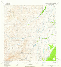
1949 · Talkeetna Mountains A-1
USGS Topo · 1:63,360
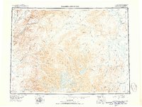
1950 · Talkeetna Mountains
USGS Topo · 1:250,000
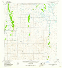
1951 · Talkeetna Mountains B-1
USGS Topo · 1:63,360
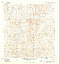
1951 · Talkeetna Mountains A-2
USGS Topo · 1:63,360
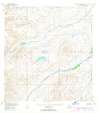
1951 · Talkeetna Mountains B-2
USGS Topo · 1:63,360
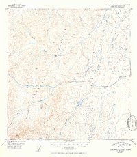
1952 · Talkeetna Mountains A-1
USGS Topo · 1:63,360
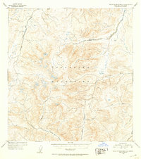
1952 · Talkeetna Mountains A-2
USGS Topo · 1:63,360
1952 · Talkeetna Mountains B-2
USGS Topo · 1:63,360
1952 · Talkeetna Mountains B-1
USGS Topo · 1:63,360
1954 · Talkeetna Mountains
USGS Topo · 1:250,000