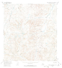
1951 Map of Talkeetna Mountains A-2
USGS Topo · Published 1975About this map
The Oshetna River and the Little Nelchina River define the drainage patterns across this remote Alaskan interior landscape as it was documented in the early 1950s. The terrain is characterized by high-elevation passes and complex water networks, notably where Horsepasture Creek flows toward Horsepasture Pass. To the south, the Limestone Hills rise above a series of named drainages including Limestone Gulch and Limestone Gap, indicating the distinct geological transitions found within the Matanuska-Susitna region.
Find a feature on this map
24 named features on this map. Tap any name to fly to it.
Don’t see what you’re looking for? This feature index may not catch every label — zoom into the map to look around manually.
Map Details
Editions of this 1951 Talkeetna Mountains A-2 Map
3 editions found
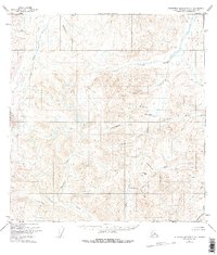
Other maps of this area

1948 · Anchorage D-3
USGS Topo · 1:63,360

1948 · Anchorage D-2
USGS Topo · 1:63,360

1949 · Talkeetna Mountains A-1
USGS Topo · 1:63,360

1950 · Talkeetna Mountains
USGS Topo · 1:250,000

1951 · Anchorage
USGS Topo · 1:250,000

1951 · Talkeetna Mountains B-1
USGS Topo · 1:63,360

1951 · Talkeetna Mountains A-2
USGS Topo · 1:63,360

1951 · Talkeetna Mountains B-3
USGS Topo · 1:63,360

1951 · Talkeetna Mountains A-3
USGS Topo · 1:63,360

1951 · Talkeetna Mountains B-2
USGS Topo · 1:63,360