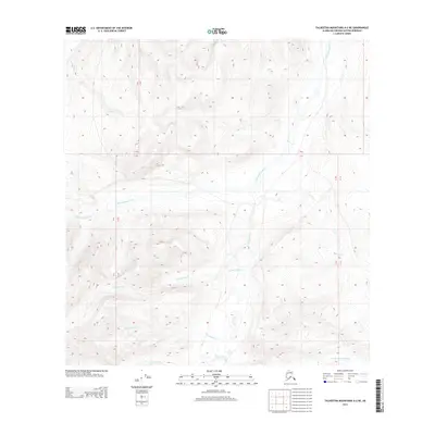
2013 Map of Talkeetna Mountains A-2 NE
USGS Topo · Published 2013About this map
Little Oshetna River carves through the high, unnamed elevations of the Matanuska-Susitna Borough, defining a drainage system that includes Gold Cr and Conglomerate Cr. The area is characterized by high-altitude stream networks rather than human settlements, with the Horsepasture Cr and Cardioceras Cr flowing through deep topographic basins. The presence of Red Fox Cr in the eastern reaches and the Little Nelchina River in the southeast corner suggests a complex watershed where multiple streams converge from different ridgelines. This 2013 survey provides a detailed look at the hydrology of the Talkeetna Mountains, showing how these waterways navigate the steep slopes and narrow valleys before joining larger river systems downstream.
Find a feature on this map
10 named features on this map. Tap any name to fly to it.
Don’t see what you’re looking for? This feature index may not catch every label — zoom into the map to look around manually.
Map Details
Editions of this 2013 Talkeetna Mountains A-2 NE Map
This is the sole edition of this map. No revisions or reprints were ever made.
Other maps of this area
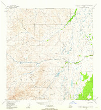
1949 · Talkeetna Mountains A-1
USGS Topo · 1:63,360
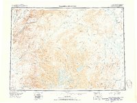
1950 · Talkeetna Mountains
USGS Topo · 1:250,000
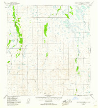
1951 · Talkeetna Mountains B-1
USGS Topo · 1:63,360
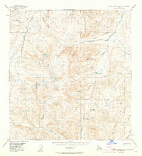
1951 · Talkeetna Mountains A-2
USGS Topo · 1:63,360
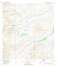
1951 · Talkeetna Mountains B-2
USGS Topo · 1:63,360
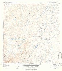
1952 · Talkeetna Mountains A-1
USGS Topo · 1:63,360
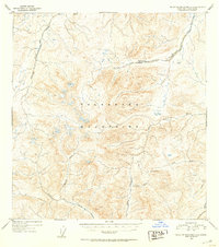
1952 · Talkeetna Mountains A-2
USGS Topo · 1:63,360
1952 · Talkeetna Mountains B-2
USGS Topo · 1:63,360
1952 · Talkeetna Mountains B-1
USGS Topo · 1:63,360
1954 · Talkeetna Mountains
USGS Topo · 1:250,000