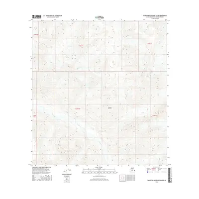
2016 Map of Talkeetna Mountains A-4 NW
USGS Topo · Published 2016About this map
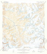
Sheep River meanders through the heart of the Talkeetna Mountains in this high-altitude Alaskan quadrangle. The landscape is defined by extreme relief and glacial drainage patterns, where the narrow corridor of the river provides the primary natural passage through the towering peaks. In the northeast corner, Iron Cr cuts its own drainage, feeding into the larger watershed. This map captures the region in 2016, showing a vast wilderness devoid of human settlements, roads, or modern development, preserving the primitive state of the interior. The survey clearly delineates the township and range boundaries, including t24n r3e and t25n r3e, which are essential for locating specific wilderness tracts or historical mining claims in this remote section of the Matanuska-Susitna Borough.
Find a feature on this map
9 named features on this map. Tap any name to fly to it.
Don’t see what you’re looking for? This feature index may not catch every label — zoom into the map to look around manually.
Map Details
Editions of this 2016 Talkeetna Mountains A-4 NW Map
This is the sole edition of this map. No revisions or reprints were ever made.
Other maps of this area
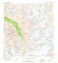
1949 · Talkeetna Mountains A-4
USGS Topo · 1:63,360

1950 · Talkeetna Mountains
USGS Topo · 1:250,000
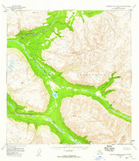
1950 · Talkeetna Mountains B-5
USGS Topo · 1:63,360
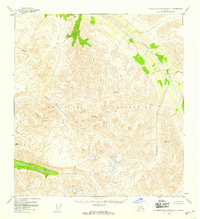
1950 · Talkeetna Mountains B-4
USGS Topo · 1:63,360
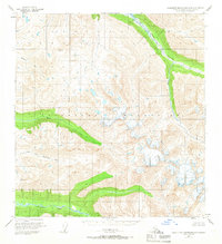
1950 · Talkeetna Mountains A-5
USGS Topo · 1:63,360
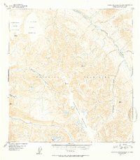
1952 · Talkeetna Mountains B-4
USGS Topo · 1:63,360
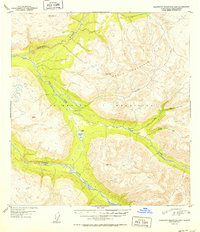
1952 · Talkeetna Mountains B-5
USGS Topo · 1:63,360
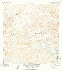
1952 · Talkeetna Mountains A-5
USGS Topo · 1:63,360
1954 · Talkeetna Mountains A-4
USGS Topo · 1:63,360

1954 · Talkeetna Mountains
USGS Topo · 1:250,000