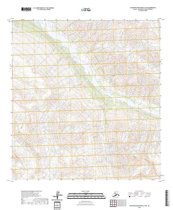
2023 Map of Talkeetna Mountains A-5 NE
USGS Topo · Published 2023About this map
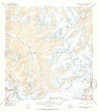
Sheep River winds through this mountainous section of the Talkeetna Mountains, defining the primary drainage for the surrounding high-altitude terrain. The topography is dominated by steep elevation changes and deep valleys, as indicated by the dense contouring characteristic of this subarctic landscape. The map delineates the township and range boundaries for T25n R1e, T25n R2e, T24n R1e, and T24n R2e, providing a framework for understanding land divisions in this remote part of the Matanuska-Susitna Borough. The absence of roads or permanent settlements suggests a wilderness area where the natural water systems and ridgelines are the primary landmarks for navigation and land management.
Find a feature on this map
5 named features on this map. Tap any name to fly to it.
Don’t see what you’re looking for? This feature index may not catch every label — zoom into the map to look around manually.
Map Details
Editions of this 2023 Talkeetna Mountains A-5 NE Map
This is the sole edition of this map. No revisions or reprints were ever made.
Other maps of this area

1949 · Talkeetna Mountains A-4
USGS Topo · 1:63,360

1950 · Talkeetna Mountains
USGS Topo · 1:250,000

1950 · Talkeetna Mountains B-5
USGS Topo · 1:63,360

1950 · Talkeetna Mountains B-4
USGS Topo · 1:63,360

1950 · Talkeetna Mountains A-5
USGS Topo · 1:63,360
1952 · Talkeetna Mountains B-4
USGS Topo · 1:63,360
1952 · Talkeetna Mountains B-5
USGS Topo · 1:63,360
1952 · Talkeetna Mountains A-5
USGS Topo · 1:63,360
1954 · Talkeetna Mountains A-4
USGS Topo · 1:63,360

1954 · Talkeetna Mountains
USGS Topo · 1:250,000