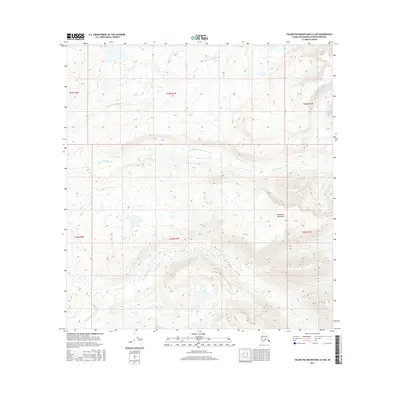
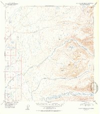
2016 Map of Talkeetna Mountains A-6 NE
USGS Topo · Published 2016About this map
The Talkeetna Mountains define this high-altitude landscape in the Matanuska-Susitna region, captured here in a 2016 survey. The terrain is dominated by steep topographical gradients and the headwaters of vital glacial drainage systems. The map traces the intricate paths of Sheep Creek as it winds through the southern sections, while the northern reaches are carved by the Middle Fork Montana Cr and the S Fork Montana Cr. This sheet provides a precise record of the hydrologic patterns and land divisions within the Public Land Survey System, including sections of townships T24N and T25N. For those studying the remote geography of the Alaskan interior, the map offers an exact look at the natural waterways before they descend toward the more settled valleys to the west.
Find a feature on this map
10 named features on this map. Tap any name to fly to it.
Don’t see what you’re looking for? This feature index may not catch every label — zoom into the map to look around manually.
Map Details
Editions of this 2016 Talkeetna Mountains A-6 NE Map
This is the sole edition of this map. No revisions or reprints were ever made.
Other maps of this area
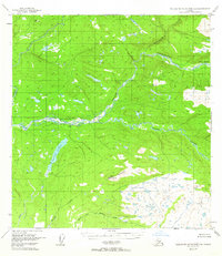
1949 · Talkeetna Mountains B-6
USGS Topo · 1:63,360

1950 · Talkeetna Mountains
USGS Topo · 1:250,000
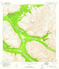
1950 · Talkeetna Mountains B-5
USGS Topo · 1:63,360
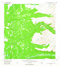
1950 · Talkeetna Mountains A-6
USGS Topo · 1:63,360
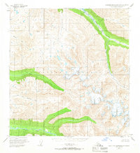
1950 · Talkeetna Mountains A-5
USGS Topo · 1:63,360
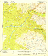
1952 · Talkeetna Mountains B-6
USGS Topo · 1:63,360
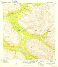
1952 · Talkeetna Mountains B-5
USGS Topo · 1:63,360
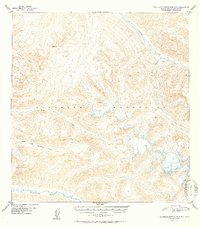
1952 · Talkeetna Mountains A-5
USGS Topo · 1:63,360
1952 · Talkeetna Mountains A-6
USGS Topo · 1:63,360

1954 · Talkeetna Mountains
USGS Topo · 1:250,000