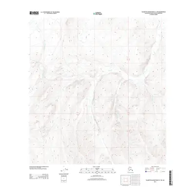
2013 Map of Talkeetna Mountains B-1 SW
USGS Topo · Published 2013About this map
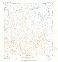
The Little Oshetna River flows through this corner of the Talkeetna Mountains, marking a landscape defined by an intricate network of alpine drainage systems. In the early 21st century, this area remains characterized by its high-elevation watercourses, where Sanona Cr and Walker Cr carve through the terrain. The mapping reveals a distinct hydrographic pattern where smaller tributaries like Joe Cr, Red Cr, and Yacko Cr converge, illustrating the complex watershed of the Matanuska-Susitna region. Further east, the descent of Sellick Cr and the descriptively named Fourth-of-July Cr suggest a landscape shaped by seasonal melt and persistent glacial influence. This survey captures the remote character of the Alaskan interior, showing the fundamental relationship between elevation and the path of these mountain streams before they reach the larger river valleys.
Find a feature on this map
10 named features on this map. Tap any name to fly to it.
Don’t see what you’re looking for? This feature index may not catch every label — zoom into the map to look around manually.
Map Details
Editions of this 2013 Talkeetna Mountains B-1 SW Map
This is the sole edition of this map. No revisions or reprints were ever made.
Other maps of this area

1949 · Talkeetna Mountains A-1
USGS Topo · 1:63,360

1950 · Talkeetna Mountains
USGS Topo · 1:250,000

1951 · Talkeetna Mountains B-1
USGS Topo · 1:63,360

1951 · Talkeetna Mountains A-2
USGS Topo · 1:63,360

1951 · Talkeetna Mountains B-2
USGS Topo · 1:63,360
1952 · Talkeetna Mountains A-1
USGS Topo · 1:63,360
1952 · Talkeetna Mountains A-2
USGS Topo · 1:63,360
1952 · Talkeetna Mountains B-2
USGS Topo · 1:63,360
1952 · Talkeetna Mountains B-1
USGS Topo · 1:63,360

1954 · Talkeetna Mountains
USGS Topo · 1:250,000