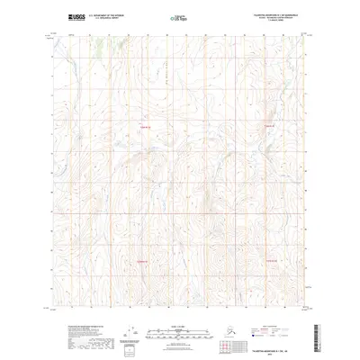
2023 Map of Talkeetna Mountains B-1 SW
USGS Topo · Published 2023About this map
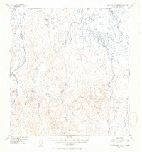
Big Bones Ridge forms a prominent central spine in this remote section of the Talkeetna Mountains, dividing the drainage basins of several significant glacial and alpine waterways. The Oshetna River and Little Oshetna River define the northwestern corner, while a network of south-flowing streams, including Joe Creek, Red Creek, and Yacko Creek, cut deep valleys into the high-altitude terrain. The landscape is marked by the transition between the headwaters of these drainages, revealing a complex hydraulic pattern typical of the Matanuska-Susitna Borough interior. To the east, the map traces the upper reaches of Sanona Creek and the curiously named Fourth-of-July Creek, alongside Sellick Creek. This high-country wilderness, documented by the U.S. Geological Survey using 2010 imagery and 2012 elevation data, remains largely undeveloped, defined by its natural watercourses and the Public Land Survey System grids of t26n r11e, t26n r12e, t25n r11e, and t25n r12e.
Find a feature on this map
14 named features on this map. Tap any name to fly to it.
Don’t see what you’re looking for? This feature index may not catch every label — zoom into the map to look around manually.
Map Details
Editions of this 2023 Talkeetna Mountains B-1 SW Map
This is the sole edition of this map. No revisions or reprints were ever made.
Other maps of this area

1949 · Talkeetna Mountains A-1
USGS Topo · 1:63,360

1950 · Talkeetna Mountains
USGS Topo · 1:250,000

1951 · Talkeetna Mountains B-1
USGS Topo · 1:63,360

1951 · Talkeetna Mountains A-2
USGS Topo · 1:63,360

1951 · Talkeetna Mountains B-2
USGS Topo · 1:63,360
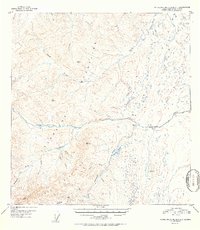
1952 · Talkeetna Mountains A-1
USGS Topo · 1:63,360
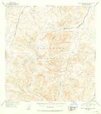
1952 · Talkeetna Mountains A-2
USGS Topo · 1:63,360
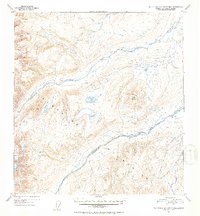
1952 · Talkeetna Mountains B-2
USGS Topo · 1:63,360
1952 · Talkeetna Mountains B-1
USGS Topo · 1:63,360

1954 · Talkeetna Mountains
USGS Topo · 1:250,000