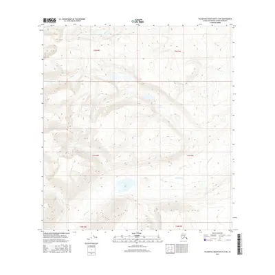
2016 Map of Talkeetna Mountains B-2 NW
USGS Topo · Published 2016About this map
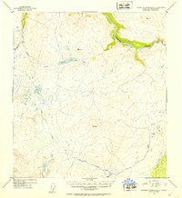
Black Lake sits at the heart of this high-elevation landscape within the Talkeetna Mountains, serving as a central catchment for the surrounding drainage basins. The area is defined by a dense network of watercourses, including Black River, which flows through the southern reaches of the quadrangle. Steep topographic gradients guide the paths of Gilbert Cr in the north and George Cr to the west, illustrating the complex hydrology of this part of the Matanuska-Susitna Borough. The township and range lines of t27n r8e and t28n r9e provide the only structural grid in this largely unsettled wilderness, where the movement of water across varying elevations remains the primary geographical feature of the land.
Find a feature on this map
11 named features on this map. Tap any name to fly to it.
Don’t see what you’re looking for? This feature index may not catch every label — zoom into the map to look around manually.
Map Details
Editions of this 2016 Talkeetna Mountains B-2 NW Map
This is the sole edition of this map. No revisions or reprints were ever made.
Other maps of this area

1950 · Talkeetna Mountains
USGS Topo · 1:250,000
1951 · Talkeetna Mountains C-2
USGS Topo · 1:63,360
1951 · Talkeetna Mountains B-3
USGS Topo · 1:63,360
1951 · Talkeetna Mountains B-2
USGS Topo · 1:63,360
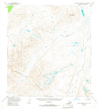
1951 · Talkeetna Mountains C-3
USGS Topo · 1:63,360
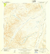
1952 · Talkeetna Mountains C-3
USGS Topo · 1:63,360
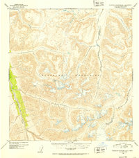
1952 · Talkeetna Mountains B-3
USGS Topo · 1:63,360
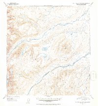
1952 · Talkeetna Mountains B-2
USGS Topo · 1:63,360
1952 · Talkeetna Mountains C-2
USGS Topo · 1:63,360

1954 · Talkeetna Mountains
USGS Topo · 1:250,000