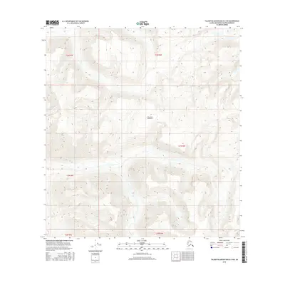
2016 Map of Talkeetna Mountains B-3 NW
USGS Topo · Published 2016About this map
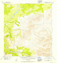
The Talkeetna Mountains define this high-altitude landscape in the Matanuska-Susitna Borough, where extreme elevation changes are recorded through dense contour lines. This 2016 survey of the B-3 NW quadrangle reveals a terrain almost entirely devoid of human infrastructure, focusing instead on the natural drainage patterns of remote waterways like John Cr. The mapping of township and range lines, such as t28n r6e, t27n r5e, and t26n r5e, provides the primary organizational framework for this wilderness. The absence of roads, trails, or structures in this sector underscores the primitive state of the interior range during the early twenty-first century, serving as a baseline for environmental study and land management in one of the state's most formidable mountain environments.
Find a feature on this map
8 named features on this map. Tap any name to fly to it.
Don’t see what you’re looking for? This feature index may not catch every label — zoom into the map to look around manually.
Map Details
Editions of this 2016 Talkeetna Mountains B-3 NW Map
This is the sole edition of this map. No revisions or reprints were ever made.
Other maps of this area

1950 · Talkeetna Mountains
USGS Topo · 1:250,000
1950 · Talkeetna Mountains B-4
USGS Topo · 1:63,360
1951 · Talkeetna Mountains B-3
USGS Topo · 1:63,360
1951 · Talkeetna Mountains C-4
USGS Topo · 1:63,360
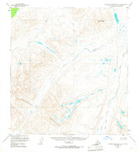
1951 · Talkeetna Mountains C-3
USGS Topo · 1:63,360
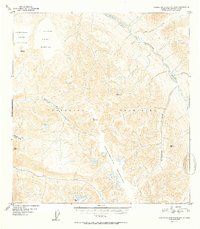
1952 · Talkeetna Mountains B-4
USGS Topo · 1:63,360
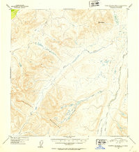
1952 · Talkeetna Mountains C-3
USGS Topo · 1:63,360
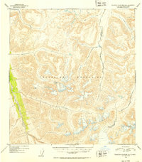
1952 · Talkeetna Mountains B-3
USGS Topo · 1:63,360
1952 · Talkeetna Mountains C-4
USGS Topo · 1:63,360

1954 · Talkeetna Mountains
USGS Topo · 1:250,000