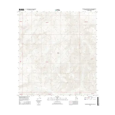
2016 Map of Talkeetna Mountains B-4 NW
USGS Topo · Published 2016About this map
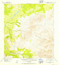
The high-elevation terrain of the Talkeetna Mountains dominates this portion of the Matanuska-Susitna region, where steep drainage patterns define a largely uninhabited landscape. The primary water feature is the E Fork Iron Cr, which cuts through the southwestern corner of the quadrangle. This 2016 survey illustrates the complex topography of the range, showing the intricate network of ridgelines and valleys that characterize this part of the Alaskan wilderness. Map collectors and researchers focusing on the Public Land Survey System will find clear demarcations for numerous townships including t27n r3e and t28n r3e, providing precise coordinate data for this remote mountain territory.
Find a feature on this map
11 named features on this map. Tap any name to fly to it.
Don’t see what you’re looking for? This feature index may not catch every label — zoom into the map to look around manually.
Map Details
Editions of this 2016 Talkeetna Mountains B-4 NW Map
This is the sole edition of this map. No revisions or reprints were ever made.
Other maps of this area

1950 · Talkeetna Mountains
USGS Topo · 1:250,000
1950 · Talkeetna Mountains B-5
USGS Topo · 1:63,360
1950 · Talkeetna Mountains B-4
USGS Topo · 1:63,360
1950 · Talkeetna Mountains C-5
USGS Topo · 1:63,360
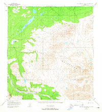
1951 · Talkeetna Mountains C-4
USGS Topo · 1:63,360
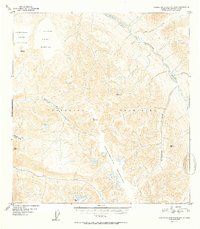
1952 · Talkeetna Mountains B-4
USGS Topo · 1:63,360
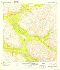
1952 · Talkeetna Mountains B-5
USGS Topo · 1:63,360
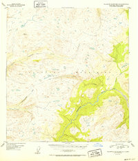
1952 · Talkeetna Mountains C-5
USGS Topo · 1:63,360
1952 · Talkeetna Mountains C-4
USGS Topo · 1:63,360

1954 · Talkeetna Mountains
USGS Topo · 1:250,000