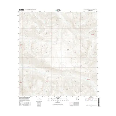
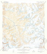
2016 Map of Talkeetna Mountains B-4 SW
USGS Topo · Published 2016About this map
The Talkeetna Mountains define this high-altitude landscape in the Matanuska-Susitna Borough, where the terrain is carved by a complex drainage network. The watershed of Iron Creek is the primary geographic feature, fed by the Middle Fork Iron Cr and the E Fork Iron Cr. This survey illustrates the steep, unpopulated interior of Alaska as documented in the mid-2010s, showing a land defined by its hydrology and elevation rather than human settlement. The map serves as a precise record of these alpine watercourses and their tributaries, such as Iron Cr, as they descend from the high peaks of the Talkeetna range. This level of detail is particularly useful for understanding the natural drainage patterns and topographical boundaries in a region where road access is virtually non-existent.
Find a feature on this map
11 named features on this map. Tap any name to fly to it.
Don’t see what you’re looking for? This feature index may not catch every label — zoom into the map to look around manually.
Map Details
Editions of this 2016 Talkeetna Mountains B-4 SW Map
This is the sole edition of this map. No revisions or reprints were ever made.
Other maps of this area
1949 · Talkeetna Mountains A-4
USGS Topo · 1:63,360

1950 · Talkeetna Mountains
USGS Topo · 1:250,000
1950 · Talkeetna Mountains B-5
USGS Topo · 1:63,360
1950 · Talkeetna Mountains B-4
USGS Topo · 1:63,360
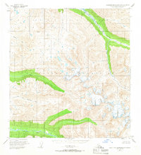
1950 · Talkeetna Mountains A-5
USGS Topo · 1:63,360
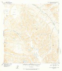
1952 · Talkeetna Mountains B-4
USGS Topo · 1:63,360
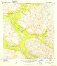
1952 · Talkeetna Mountains B-5
USGS Topo · 1:63,360
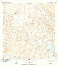
1952 · Talkeetna Mountains A-5
USGS Topo · 1:63,360
1954 · Talkeetna Mountains A-4
USGS Topo · 1:63,360

1954 · Talkeetna Mountains
USGS Topo · 1:250,000