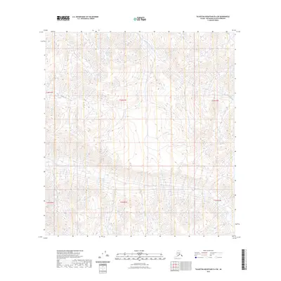
2023 Map of Talkeetna Mountains B-4 SW
USGS Topo · Published 2023About this map
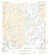
Iron Creek and its major tributaries dominate this high-altitude landscape in the Talkeetna Mountains. This 2023 survey provides a detailed look at the drainage patterns of the Middle Fork Iron Creek and East Fork Iron Creek, showcasing a wilderness area defined by significant elevation changes. The map is organized by the Public Land Survey System, covering portions of t26n r2e, t26n r3e, t26n r4e, t25n r2e, t25n r3e, and t25n r4e. With no roads or permanent settlements recorded on this sheet, the primary focus is the complex topography and the network of waterways that feed into the larger Susitna River basin. The sharp contouring illustrates the steep ridges and basins typical of this part of the Matanuska-Susitna Borough, offering a clear picture of the remote backcountry geography.
Find a feature on this map
9 named features on this map. Tap any name to fly to it.
Don’t see what you’re looking for? This feature index may not catch every label — zoom into the map to look around manually.
Map Details
Editions of this 2023 Talkeetna Mountains B-4 SW Map
This is the sole edition of this map. No revisions or reprints were ever made.
Other maps of this area

1949 · Talkeetna Mountains A-4
USGS Topo · 1:63,360

1950 · Talkeetna Mountains
USGS Topo · 1:250,000

1950 · Talkeetna Mountains B-5
USGS Topo · 1:63,360

1950 · Talkeetna Mountains B-4
USGS Topo · 1:63,360

1950 · Talkeetna Mountains A-5
USGS Topo · 1:63,360
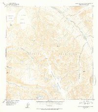
1952 · Talkeetna Mountains B-4
USGS Topo · 1:63,360
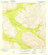
1952 · Talkeetna Mountains B-5
USGS Topo · 1:63,360
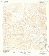
1952 · Talkeetna Mountains A-5
USGS Topo · 1:63,360
1954 · Talkeetna Mountains A-4
USGS Topo · 1:63,360

1954 · Talkeetna Mountains
USGS Topo · 1:250,000