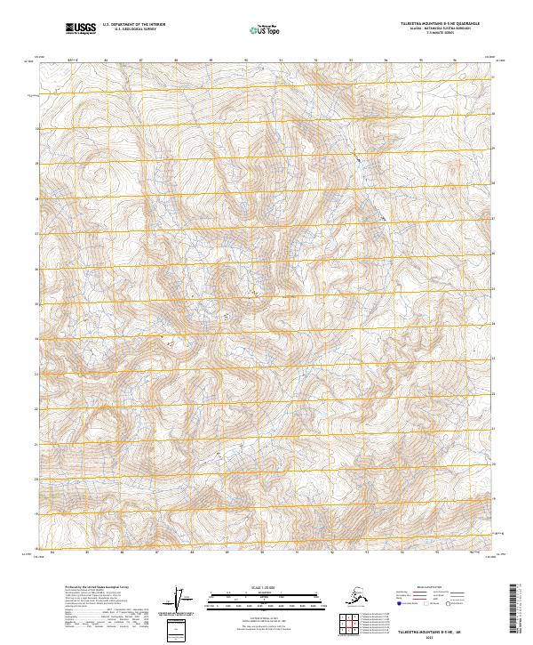
2023 Map of Talkeetna Mountains B-5 NE
USGS Topo · Published 2023About this map
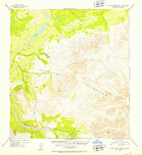
Wells Mtn dominates the central portion of this Matanuska-Susitna Borough landscape, rising above a network of complex high-altitude drainages. The 2023 survey emphasizes the natural topography and Public Land Survey System boundaries, including the intersections of T27n R1e, T27n R2e, and surrounding townships. This is a wilderness-focused sheet with no indicated roads or modern settlements, offering a detailed record of the undeveloped terrain within the Talkeetna Mountains. The map serves as a primary reference for the physical geography of the region, where the steep contour intervals trace the descent from the summit of Wells Mtn into the surrounding valleys. Researchers can use the grid systems, such as T28n R1e and T26n R2e, to precisely locate geographical points within this uninhabited portion of Alaska.
Find a feature on this map
7 named features on this map. Tap any name to fly to it.
Don’t see what you’re looking for? This feature index may not catch every label — zoom into the map to look around manually.
Map Details
Editions of this 2023 Talkeetna Mountains B-5 NE Map
This is the sole edition of this map. No revisions or reprints were ever made.
Other maps of this area

1950 · Talkeetna Mountains
USGS Topo · 1:250,000

1950 · Talkeetna Mountains B-5
USGS Topo · 1:63,360

1950 · Talkeetna Mountains B-4
USGS Topo · 1:63,360

1950 · Talkeetna Mountains C-5
USGS Topo · 1:63,360

1951 · Talkeetna Mountains C-4
USGS Topo · 1:63,360
1952 · Talkeetna Mountains B-4
USGS Topo · 1:63,360
1952 · Talkeetna Mountains B-5
USGS Topo · 1:63,360
1952 · Talkeetna Mountains C-5
USGS Topo · 1:63,360
1952 · Talkeetna Mountains C-4
USGS Topo · 1:63,360

1954 · Talkeetna Mountains
USGS Topo · 1:250,000