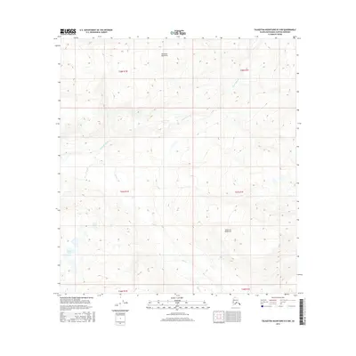
2016 Map of Talkeetna Mountains B-5 NW
USGS Topo · Published 2016About this map
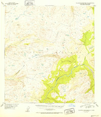
The Talkeetna River winds through this section of the Matanuska-Susitna Borough, defining a landscape dominated by the high elevations of the Talkeetna Mountains. The map reveals a wild, unpopulated territory where water drainage patterns are the primary landmarks. In the southern portion of the quadrangle, Iron Cr cuts through steep contours, while the Diana Lakes sit in a high basin to the west. This 2016 survey illustrates the complex topography of the Alaska interior, showing the deep ravines and ridgelines that characterize the region north of the Anchorage basin. The absence of roads or permanent structures underscores the remote nature of this wilderness at the time of the survey, making it a critical record for understanding the state’s undeveloped lands.
Find a feature on this map
10 named features on this map. Tap any name to fly to it.
Don’t see what you’re looking for? This feature index may not catch every label — zoom into the map to look around manually.
Map Details
Editions of this 2016 Talkeetna Mountains B-5 NW Map
This is the sole edition of this map. No revisions or reprints were ever made.
Other maps of this area
1949 · Talkeetna Mountains B-6
USGS Topo · 1:63,360
1949 · Talkeetna Mountains C-6
USGS Topo · 1:63,360

1950 · Talkeetna Mountains
USGS Topo · 1:250,000
1950 · Talkeetna Mountains B-5
USGS Topo · 1:63,360
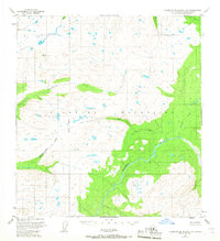
1950 · Talkeetna Mountains C-5
USGS Topo · 1:63,360
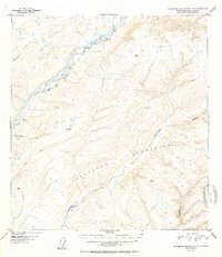
1952 · Talkeetna Mountains C-6
USGS Topo · 1:63,360
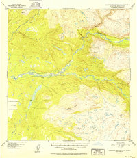
1952 · Talkeetna Mountains B-6
USGS Topo · 1:63,360
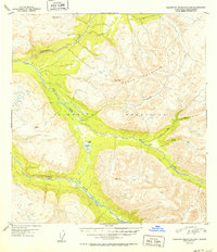
1952 · Talkeetna Mountains B-5
USGS Topo · 1:63,360
1952 · Talkeetna Mountains C-5
USGS Topo · 1:63,360

1954 · Talkeetna Mountains
USGS Topo · 1:250,000