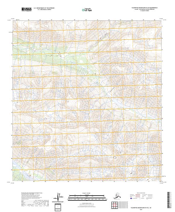
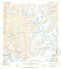
2023 Map of Talkeetna Mountains B-5 SE
USGS Topo · Published 2023About this map
Hyphen Gulch carves through the central terrain of this Matanuska-Susitna borough quadrangle, marking a significant drainage within the high-elevation landscape. The topography is defined by the rigid grid of the Public Land Survey System, specifically transitions across t26n r1e, t26n r2e, t25n r1e, and t25n r2e. Unlike more developed regions, this area is characterized by its lack of established road networks or infrastructure, as noted by the Alaska Department of Transportation. The map emphasizes the natural hydrography and elevation contours, documenting the pristine drainage patterns and land divisions in the Talkeetna Mountains at the start of the 2020s.
Find a feature on this map
5 named features on this map. Tap any name to fly to it.
Don’t see what you’re looking for? This feature index may not catch every label — zoom into the map to look around manually.
Map Details
Editions of this 2023 Talkeetna Mountains B-5 SE Map
This is the sole edition of this map. No revisions or reprints were ever made.
Other maps of this area

1949 · Talkeetna Mountains A-4
USGS Topo · 1:63,360

1950 · Talkeetna Mountains
USGS Topo · 1:250,000

1950 · Talkeetna Mountains B-5
USGS Topo · 1:63,360

1950 · Talkeetna Mountains B-4
USGS Topo · 1:63,360

1950 · Talkeetna Mountains A-5
USGS Topo · 1:63,360
1952 · Talkeetna Mountains B-4
USGS Topo · 1:63,360
1952 · Talkeetna Mountains B-5
USGS Topo · 1:63,360
1952 · Talkeetna Mountains A-5
USGS Topo · 1:63,360
1954 · Talkeetna Mountains A-4
USGS Topo · 1:63,360

1954 · Talkeetna Mountains
USGS Topo · 1:250,000