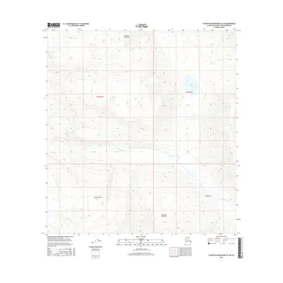
2016 Map of Talkeetna Mountains B-5 SW
USGS Topo · Published 2016About this map
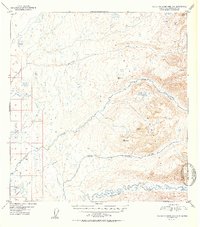
The Sheep River carves a central path through this section of the Talkeetna Mountains, defining the drainage patterns and low-lying wetlands of the Matanuska-Susitna region. Surveyed in 2016, this topographical study captures a high-elevation landscape characterized by significant relief and glacial-fed waterways. To the north, Rainbow Lake and the headwaters of Iron Cr sit among the peaks, illustrating the remote hydrological network of the upper Susitna basin. The map is primarily organized by the Public Land Survey System grids of t26n r1w, t26n r1e, t25n r1w, and t25n r1e, which provide a precise framework for understanding the land divisions in this part of the Alaskan interior. The lack of road infrastructure or named settlements emphasizes the wilderness character of the terrain during this era of mapping.
Find a feature on this map
8 named features on this map. Tap any name to fly to it.
Don’t see what you’re looking for? This feature index may not catch every label — zoom into the map to look around manually.
Map Details
Editions of this 2016 Talkeetna Mountains B-5 SW Map
This is the sole edition of this map. No revisions or reprints were ever made.
Other maps of this area
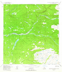
1949 · Talkeetna Mountains B-6
USGS Topo · 1:63,360

1950 · Talkeetna Mountains
USGS Topo · 1:250,000
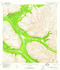
1950 · Talkeetna Mountains B-5
USGS Topo · 1:63,360
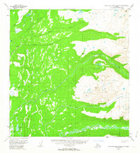
1950 · Talkeetna Mountains A-6
USGS Topo · 1:63,360
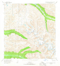
1950 · Talkeetna Mountains A-5
USGS Topo · 1:63,360
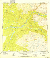
1952 · Talkeetna Mountains B-6
USGS Topo · 1:63,360
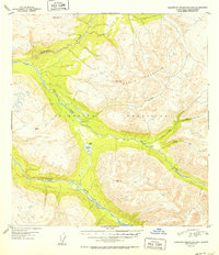
1952 · Talkeetna Mountains B-5
USGS Topo · 1:63,360
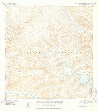
1952 · Talkeetna Mountains A-5
USGS Topo · 1:63,360
1952 · Talkeetna Mountains A-6
USGS Topo · 1:63,360

1954 · Talkeetna Mountains
USGS Topo · 1:250,000