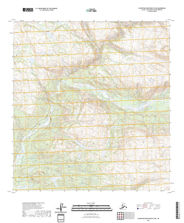
2023 Map of Talkeetna Mountains B-6 NE
USGS Topo · Published 2023About this map
Talkeetna River dominates this portion of the Matanuska-Susitna Borough, winding through a landscape shaped by glacial drainages and shifting elevations. The settlement of Chase is situated in the northwest corner of the map, marking a point of human activity within an otherwise primarily undeveloped interior region. The topography is defined by the convergence of major waterways, including the southern flow of Disappointment Creek into the main river channel. In the southwestern section, the Sheep River cuts across the terrain, illustrating the complex hydrologic network of the Susitna Valley. This 2023 survey by the U.S. Geological Survey provides a clear record of these watercourses and township boundaries before any further modern encroachment or environmental change, serving as a baseline for tracing land ownership and geographic shifts in this part of Alaska.
Find a feature on this map
12 named features on this map. Tap any name to fly to it.
Don’t see what you’re looking for? This feature index may not catch every label — zoom into the map to look around manually.
Map Details
Editions of this 2023 Talkeetna Mountains B-6 NE Map
This is the sole edition of this map. No revisions or reprints were ever made.
Other maps of this area

1949 · Talkeetna Mountains B-6
USGS Topo · 1:63,360

1949 · Talkeetna Mountains C-6
USGS Topo · 1:63,360

1950 · Talkeetna Mountains
USGS Topo · 1:250,000

1950 · Talkeetna Mountains B-5
USGS Topo · 1:63,360

1950 · Talkeetna Mountains C-5
USGS Topo · 1:63,360

1952 · Talkeetna Mountains C-6
USGS Topo · 1:63,360

1952 · Talkeetna Mountains B-6
USGS Topo · 1:63,360
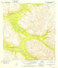
1952 · Talkeetna Mountains B-5
USGS Topo · 1:63,360
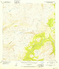
1952 · Talkeetna Mountains C-5
USGS Topo · 1:63,360

1954 · Talkeetna Mountains
USGS Topo · 1:250,000