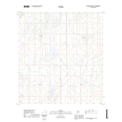
2023 Map of Talkeetna Mountains C-2 SW
USGS Topo · Published 2023About this map
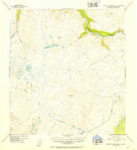
Gilbert Creek and Goose Creek provide the primary drainage for this high-elevation interior landscape, where water patterns reveal a terrain defined by glacial influence and seasonal runoff. The hydrology of the area is characterized by numerous small ponds and wetland pockets scattered across the central corridor between these two drainage systems. This 2023 edition reflects the modern boundaries of the Public Land Survey System, specifically detailing portions of t29n r8e, t29n r9e, t28n r8e, and t28n r9e. The map serves as a contemporary record of the Matanuska-Susitna Borough’s high country, illustrating the land's transition from high ridges to the saturated valley floors that feed into the larger Susitna River basin.
Find a feature on this map
6 named features on this map. Tap any name to fly to it.
Don’t see what you’re looking for? This feature index may not catch every label — zoom into the map to look around manually.
Map Details
Editions of this 2023 Talkeetna Mountains C-2 SW Map
This is the sole edition of this map. No revisions or reprints were ever made.
Other maps of this area

1950 · Talkeetna Mountains
USGS Topo · 1:250,000

1951 · Talkeetna Mountains C-2
USGS Topo · 1:63,360

1951 · Talkeetna Mountains B-3
USGS Topo · 1:63,360

1951 · Talkeetna Mountains B-2
USGS Topo · 1:63,360

1951 · Talkeetna Mountains C-3
USGS Topo · 1:63,360
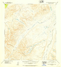
1952 · Talkeetna Mountains C-3
USGS Topo · 1:63,360
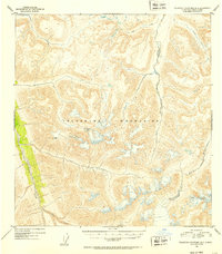
1952 · Talkeetna Mountains B-3
USGS Topo · 1:63,360
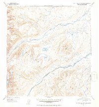
1952 · Talkeetna Mountains B-2
USGS Topo · 1:63,360
1952 · Talkeetna Mountains C-2
USGS Topo · 1:63,360

1954 · Talkeetna Mountains
USGS Topo · 1:250,000