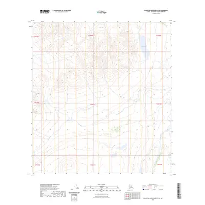
2023 Map of Talkeetna Mountains C-3 NE
USGS Topo · Published 2023About this map
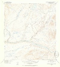
Mt Watana anchors this high-elevation landscape in the Talkeetna Mountains, where steep ridgelines descend into a network of glacial and alpine drainages. The northern portion of the map is dominated by Watana Lake, a significant water body situated among the upland plateaus. This 2023 survey illustrates the modern hydrological state of the region, specifically the headwaters and tributaries that feed the Susitna River basin. To the south and east, the drainage systems of Tsisi Creek and Kosina Creek cut through the terrain, defining the natural corridors and travel routes used by those navigating this part of the Matanuska-Susitna Borough. The map is primarily an topographical study of natural features and elevation, showing the surveyed township and range boundaries including t31n r7e and t30n r7e as they overlay the remote peaks and valleys.
Find a feature on this map
13 named features on this map. Tap any name to fly to it.
Don’t see what you’re looking for? This feature index may not catch every label — zoom into the map to look around manually.
Map Details
Editions of this 2023 Talkeetna Mountains C-3 NE Map
This is the sole edition of this map. No revisions or reprints were ever made.
Other maps of this area

1950 · Talkeetna Mountains
USGS Topo · 1:250,000

1951 · Talkeetna Mountains C-2
USGS Topo · 1:63,360

1951 · Talkeetna Mountains D-2
USGS Topo · 1:63,360

1951 · Talkeetna Mountains D-3
USGS Topo · 1:63,360

1951 · Talkeetna Mountains C-3
USGS Topo · 1:63,360
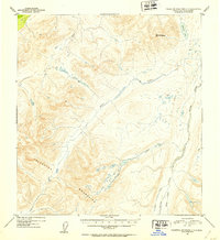
1952 · Talkeetna Mountains C-3
USGS Topo · 1:63,360
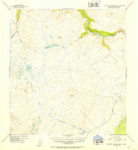
1952 · Talkeetna Mountains C-2
USGS Topo · 1:63,360
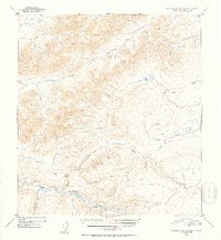
1952 · Talkeetna Mountains D-2
USGS Topo · 1:63,360
1953 · Talkeetna Mountains D-3
USGS Topo · 1:63,360

1954 · Talkeetna Mountains
USGS Topo · 1:250,000