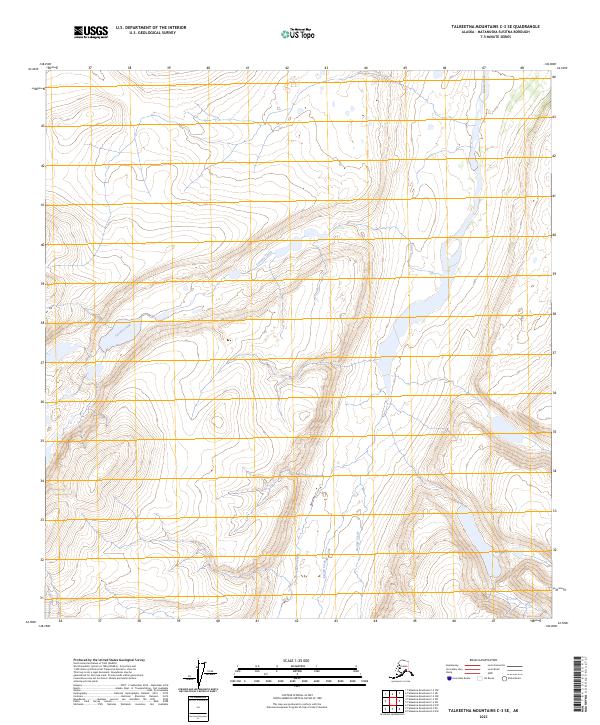
2023 Map of Talkeetna Mountains C-3 SE
USGS Topo · Published 2023About this map
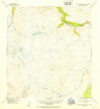
Kosina Creek flows northward through this unpopulated portion of the Talkeetna Mountains, carved by an intricate network of drainages and high-elevation relief. The landscape is defined by its water systems, including Terrace Creek and John Creek, which navigate the steep contours of the Matanuska-Susitna Borough. This 2023 edition reflects the modern hydrographic and topographic state of the region, showing the convergence of George Creek with the larger Kosina system. The map is primarily an environmental and topographic record of a roadless wilderness, providing precise elevations for those tracking the drainage patterns and landforms of the central Talkeetnas within the various survey townships, such as t29n r7e.
Find a feature on this map
10 named features on this map. Tap any name to fly to it.
Don’t see what you’re looking for? This feature index may not catch every label — zoom into the map to look around manually.
Map Details
Editions of this 2023 Talkeetna Mountains C-3 SE Map
This is the sole edition of this map. No revisions or reprints were ever made.
Other maps of this area

1950 · Talkeetna Mountains
USGS Topo · 1:250,000

1951 · Talkeetna Mountains C-2
USGS Topo · 1:63,360

1951 · Talkeetna Mountains B-3
USGS Topo · 1:63,360

1951 · Talkeetna Mountains B-2
USGS Topo · 1:63,360

1951 · Talkeetna Mountains C-3
USGS Topo · 1:63,360
1952 · Talkeetna Mountains C-3
USGS Topo · 1:63,360
1952 · Talkeetna Mountains B-3
USGS Topo · 1:63,360
1952 · Talkeetna Mountains B-2
USGS Topo · 1:63,360
1952 · Talkeetna Mountains C-2
USGS Topo · 1:63,360

1954 · Talkeetna Mountains
USGS Topo · 1:250,000