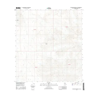
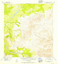
2016 Map of Talkeetna Mountains C-4 SE
USGS Topo · Published 2016About this map
The Talkeetna Mountains dominate this landscape within the Matanuska-Susitna Borough, defined by high-elevation terrain and a lack of modern development. This 2016 survey, based on imagery and hydrography data from the preceding decade, captures a remote section of the interior where the natural topography remains the primary feature. The map's grid is organized by the Public Land Survey System, specifically covering portions of T29n R4e, T29n R5e, T28n R4e, and T28n R5e. The steep contours and drainage patterns reveal a wilderness shaped by elevation and seasonal hydrology, providing a clear view of the land's character before any significant human footprint or infrastructure was recorded on the official quadrangle.
Find a feature on this map
5 named features on this map. Tap any name to fly to it.
Don’t see what you’re looking for? This feature index may not catch every label — zoom into the map to look around manually.
Map Details
Editions of this 2016 Talkeetna Mountains C-4 SE Map
This is the sole edition of this map. No revisions or reprints were ever made.
Other maps of this area

1950 · Talkeetna Mountains
USGS Topo · 1:250,000
1950 · Talkeetna Mountains B-4
USGS Topo · 1:63,360
1951 · Talkeetna Mountains B-3
USGS Topo · 1:63,360
1951 · Talkeetna Mountains C-4
USGS Topo · 1:63,360
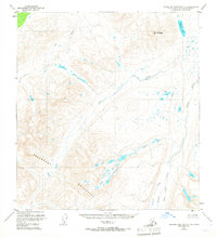
1951 · Talkeetna Mountains C-3
USGS Topo · 1:63,360
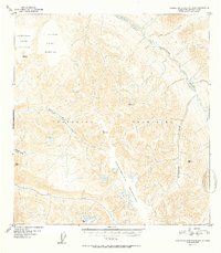
1952 · Talkeetna Mountains B-4
USGS Topo · 1:63,360
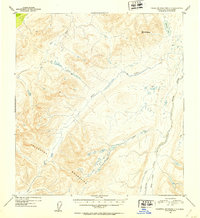
1952 · Talkeetna Mountains C-3
USGS Topo · 1:63,360
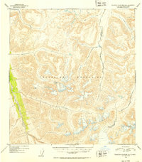
1952 · Talkeetna Mountains B-3
USGS Topo · 1:63,360
1952 · Talkeetna Mountains C-4
USGS Topo · 1:63,360

1954 · Talkeetna Mountains
USGS Topo · 1:250,000