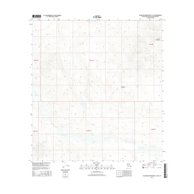
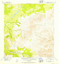
2016 Map of Talkeetna Mountains C-4 SW
USGS Topo · Published 2016About this map
Talkeetna River flows across this northern wilderness, winding through the expansive high-elevation terrain of the Talkeetna Mountains. This 2016 survey by the U.S. Geological Survey reveals a landscape defined by dramatic relief and glacial hydrology, where the river's braided channels and wide gravel bars cut through the mountain valleys. The map document spans portions of several townships, including t29n r3e and t28n r3e, showing a region largely devoid of permanent human infrastructure or developed roads. Instead, the focus remains on the intricate contour lines and natural drainage patterns that characterize this portion of the Matanuska-Susitna Borough. Researchers interested in Alaskan hydrography or remote topography will find the precise mapping of the river's path and the surrounding peaks essential for understanding the area's physical geography in the early twenty-first century.
Find a feature on this map
8 named features on this map. Tap any name to fly to it.
Don’t see what you’re looking for? This feature index may not catch every label — zoom into the map to look around manually.
Map Details
Editions of this 2016 Talkeetna Mountains C-4 SW Map
This is the sole edition of this map. No revisions or reprints were ever made.
Other maps of this area

1950 · Talkeetna Mountains
USGS Topo · 1:250,000
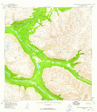
1950 · Talkeetna Mountains B-5
USGS Topo · 1:63,360
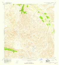
1950 · Talkeetna Mountains B-4
USGS Topo · 1:63,360
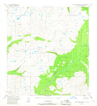
1950 · Talkeetna Mountains C-5
USGS Topo · 1:63,360
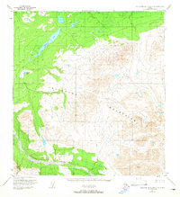
1951 · Talkeetna Mountains C-4
USGS Topo · 1:63,360
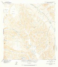
1952 · Talkeetna Mountains B-4
USGS Topo · 1:63,360
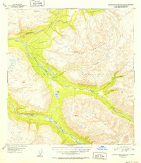
1952 · Talkeetna Mountains B-5
USGS Topo · 1:63,360
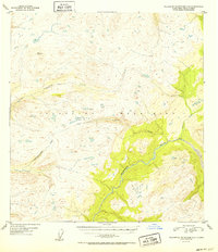
1952 · Talkeetna Mountains C-5
USGS Topo · 1:63,360
1952 · Talkeetna Mountains C-4
USGS Topo · 1:63,360

1954 · Talkeetna Mountains
USGS Topo · 1:250,000