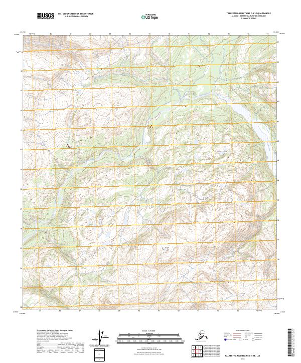
2023 Map of Talkeetna Mountains C-5 SE
USGS Topo · Published 2023About this map
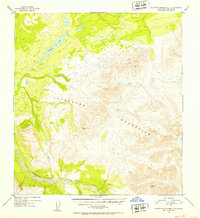
The Talkeetna River defines the lower-lying drainage patterns of this Alaskan landscape, where the main channel meets the inflow of Prairie Creek from the north. The terrain transitions from broad river valleys to higher elevations in the northwest, marked by the winding path of Cache Creek. This region, surveyed within the Matanuska-Susitna Borough, shows the natural convergence of major waterways before they flow toward more populated downstream corridors. The absence of roads or settlements on this sheet highlights the primitive state of the interior backcountry, where the hydrological network of the Talkeetna River provides the primary structure for movement and orientation through the wilderness.
Find a feature on this map
7 named features on this map. Tap any name to fly to it.
Don’t see what you’re looking for? This feature index may not catch every label — zoom into the map to look around manually.
Map Details
Editions of this 2023 Talkeetna Mountains C-5 SE Map
This is the sole edition of this map. No revisions or reprints were ever made.
Other maps of this area

1950 · Talkeetna Mountains
USGS Topo · 1:250,000

1950 · Talkeetna Mountains B-5
USGS Topo · 1:63,360

1950 · Talkeetna Mountains B-4
USGS Topo · 1:63,360

1950 · Talkeetna Mountains C-5
USGS Topo · 1:63,360

1951 · Talkeetna Mountains C-4
USGS Topo · 1:63,360
1952 · Talkeetna Mountains B-4
USGS Topo · 1:63,360
1952 · Talkeetna Mountains B-5
USGS Topo · 1:63,360
1952 · Talkeetna Mountains C-5
USGS Topo · 1:63,360
1952 · Talkeetna Mountains C-4
USGS Topo · 1:63,360

1954 · Talkeetna Mountains
USGS Topo · 1:250,000